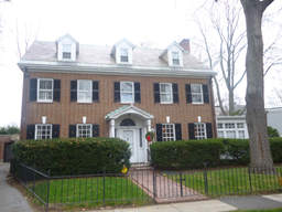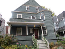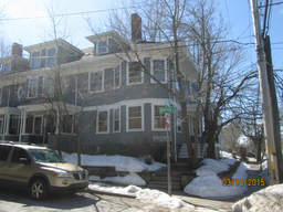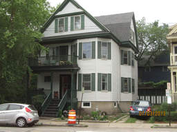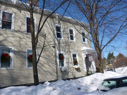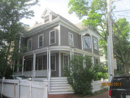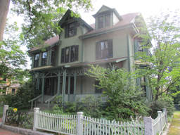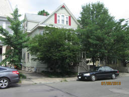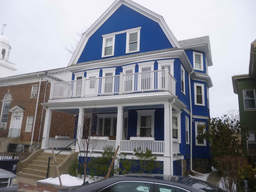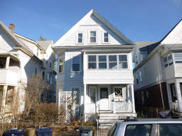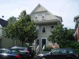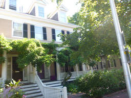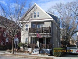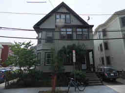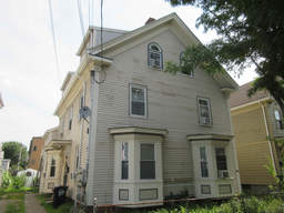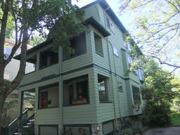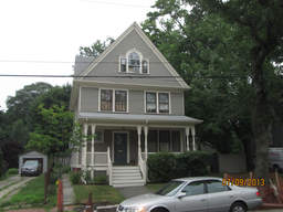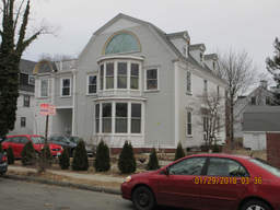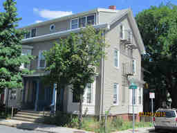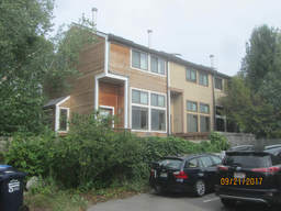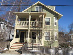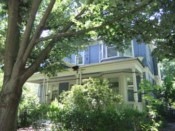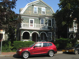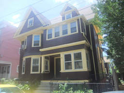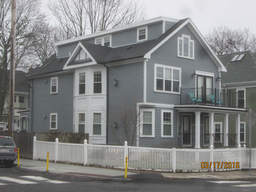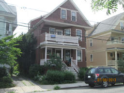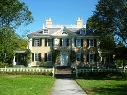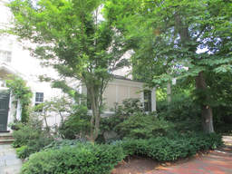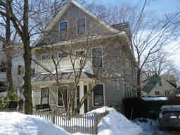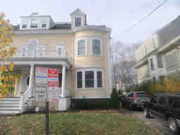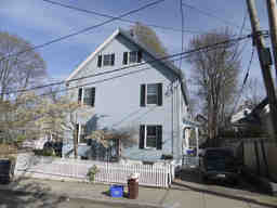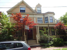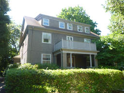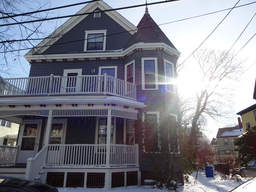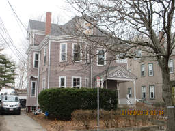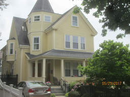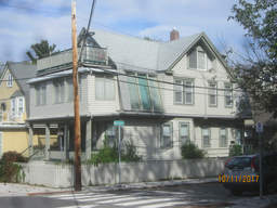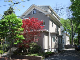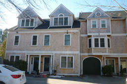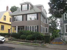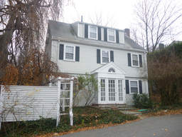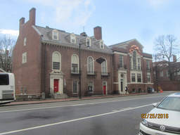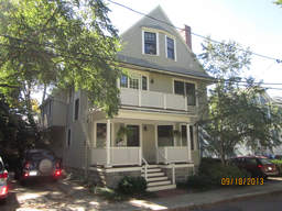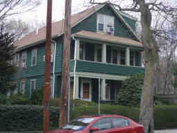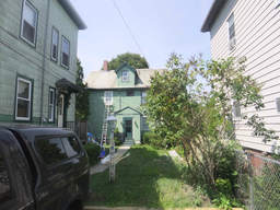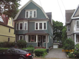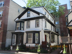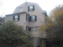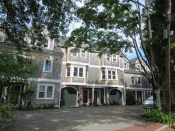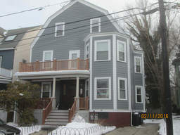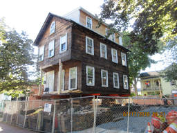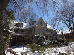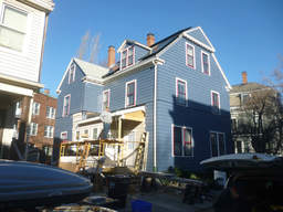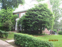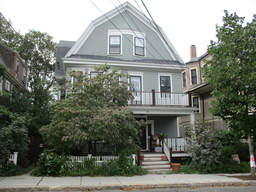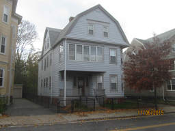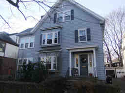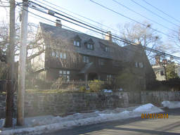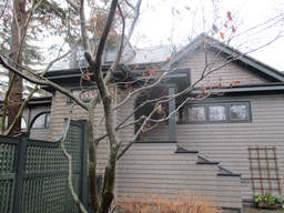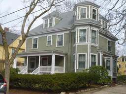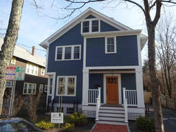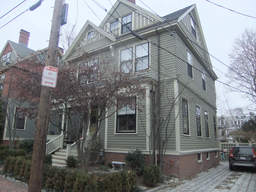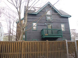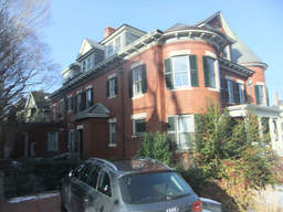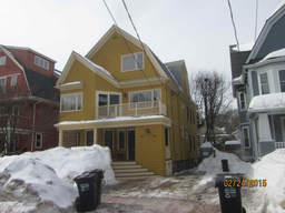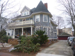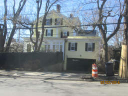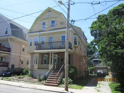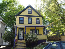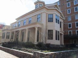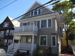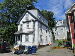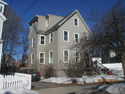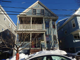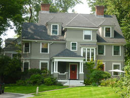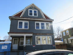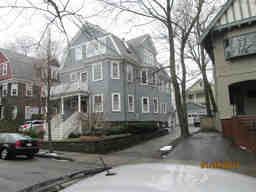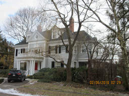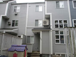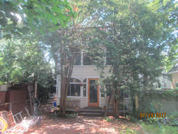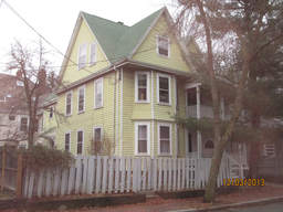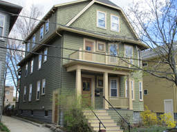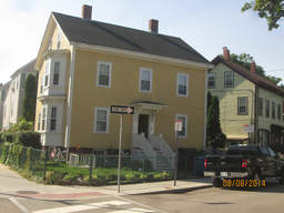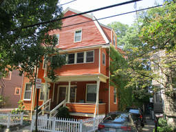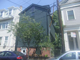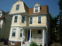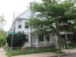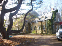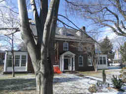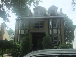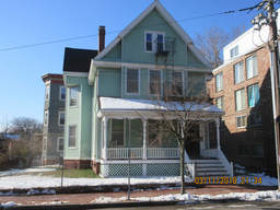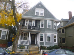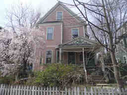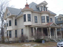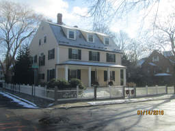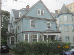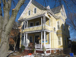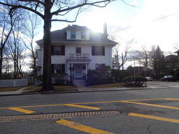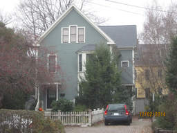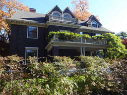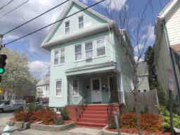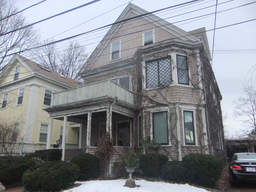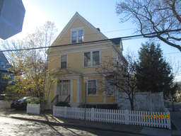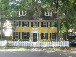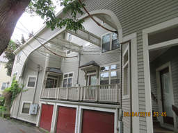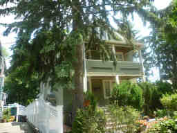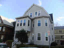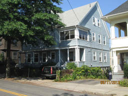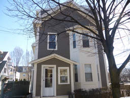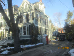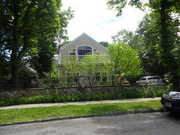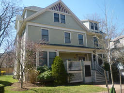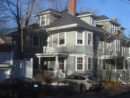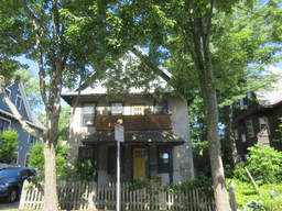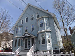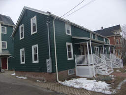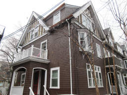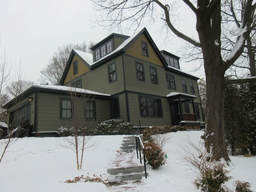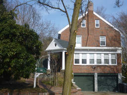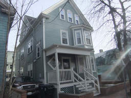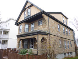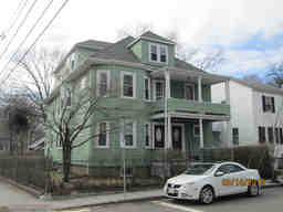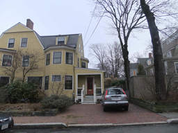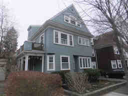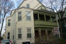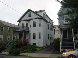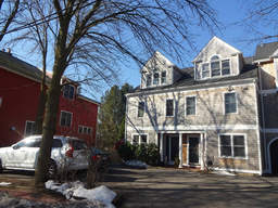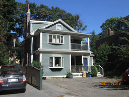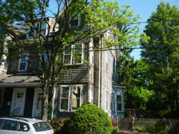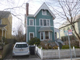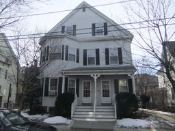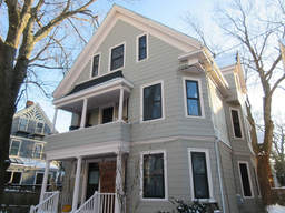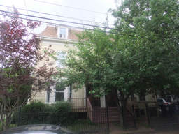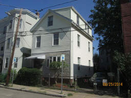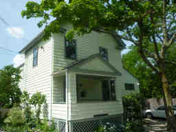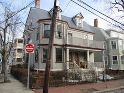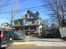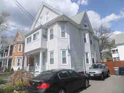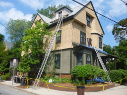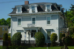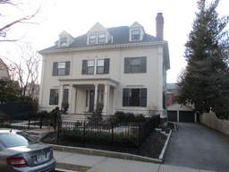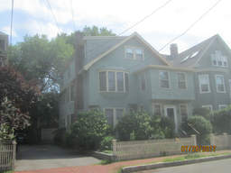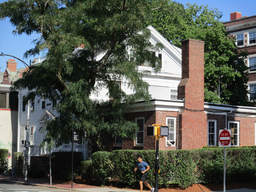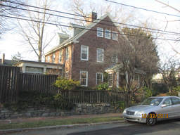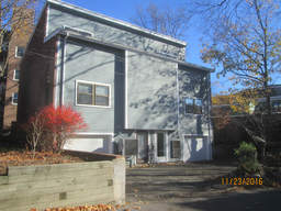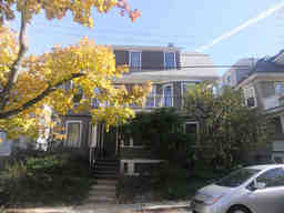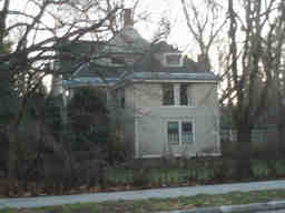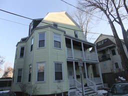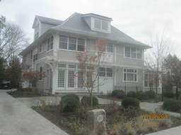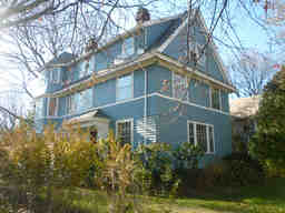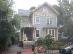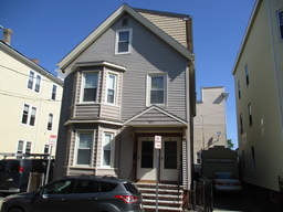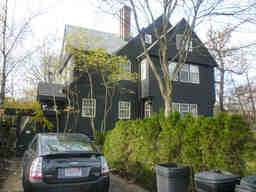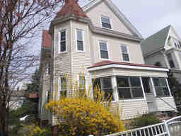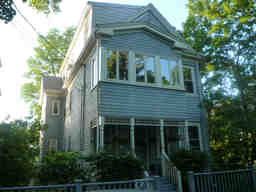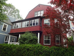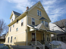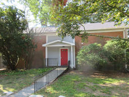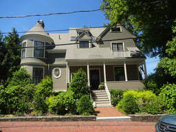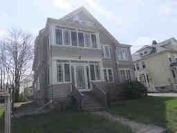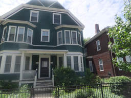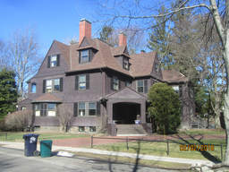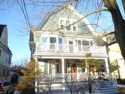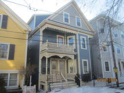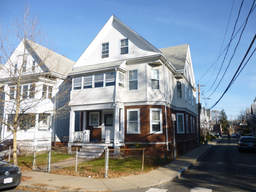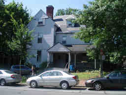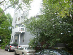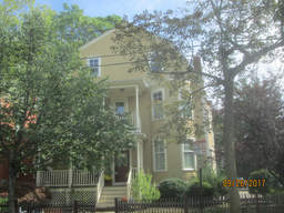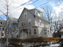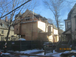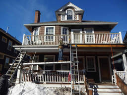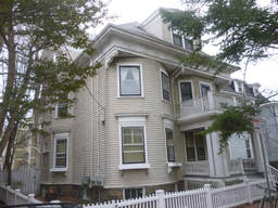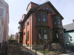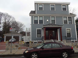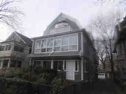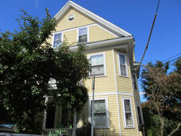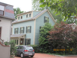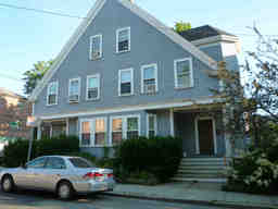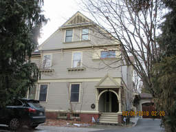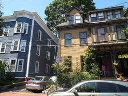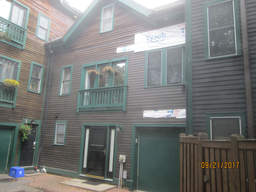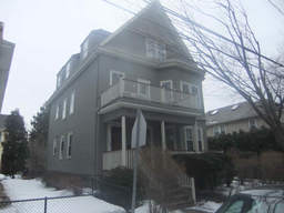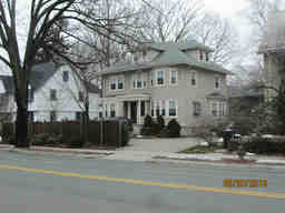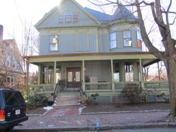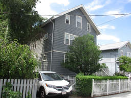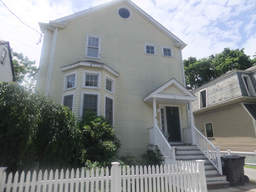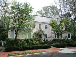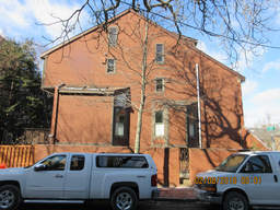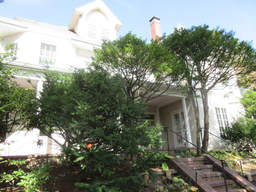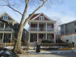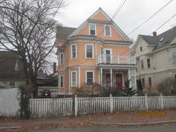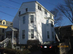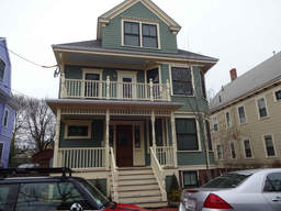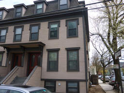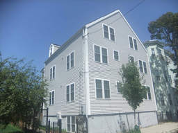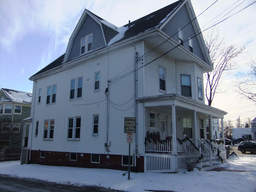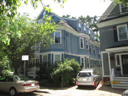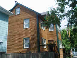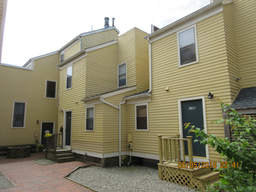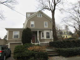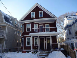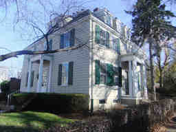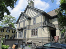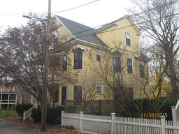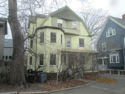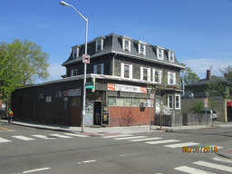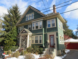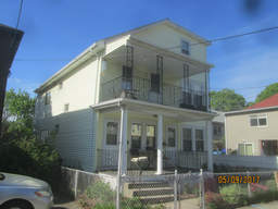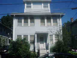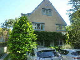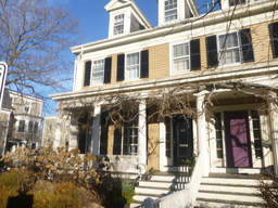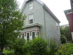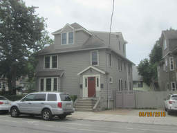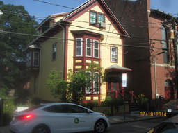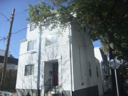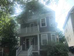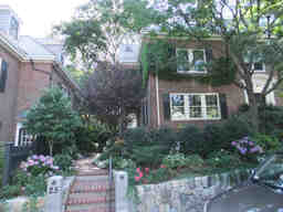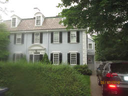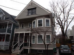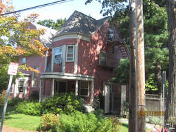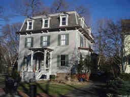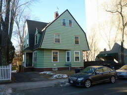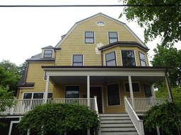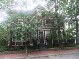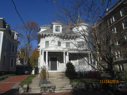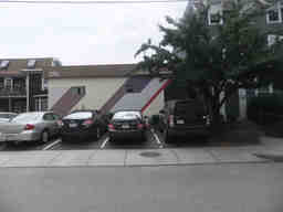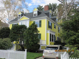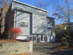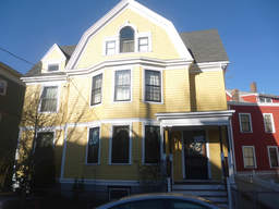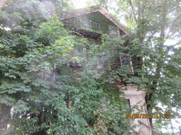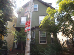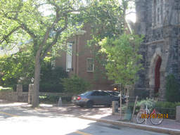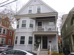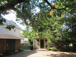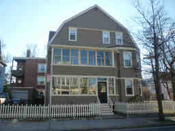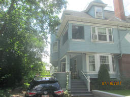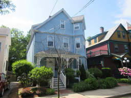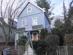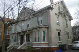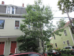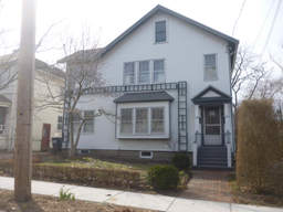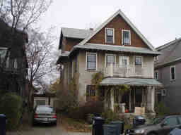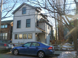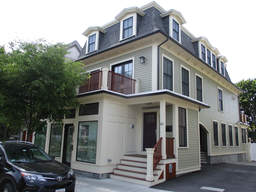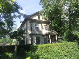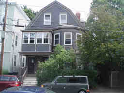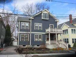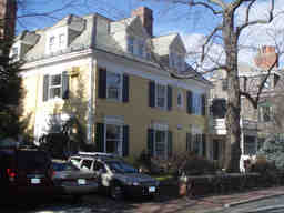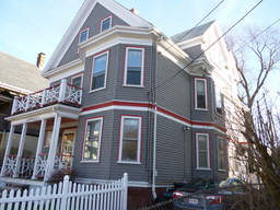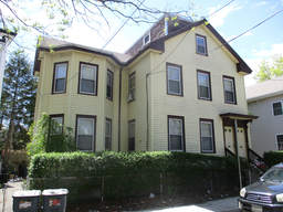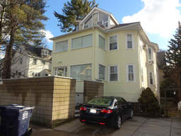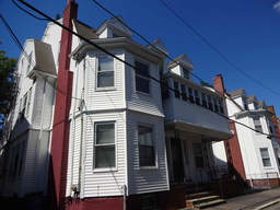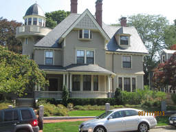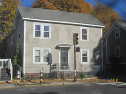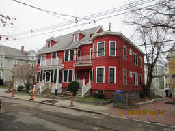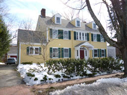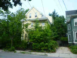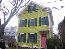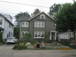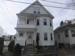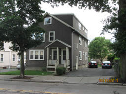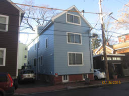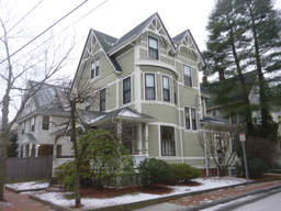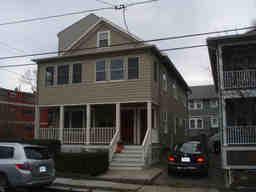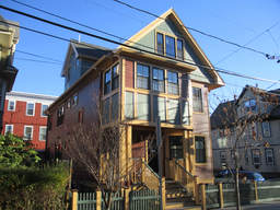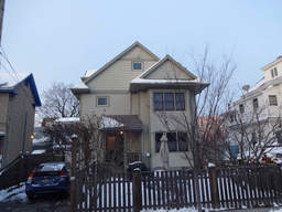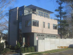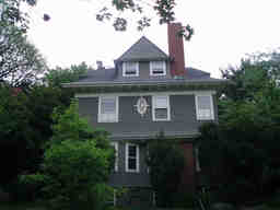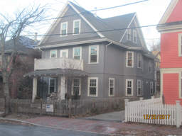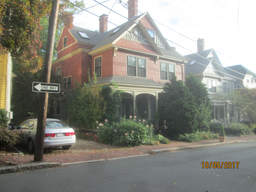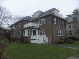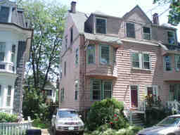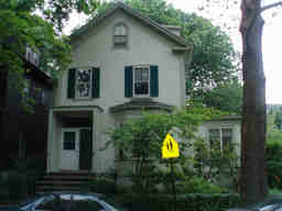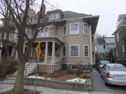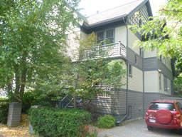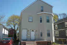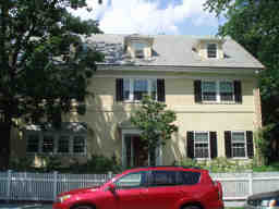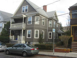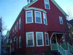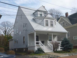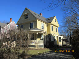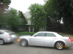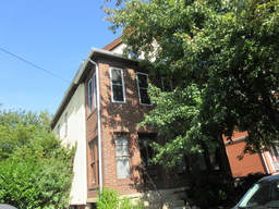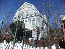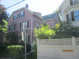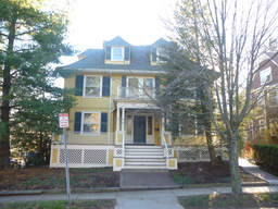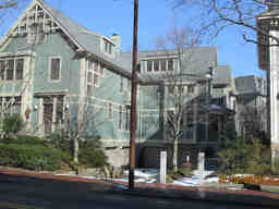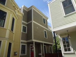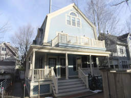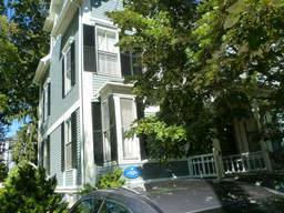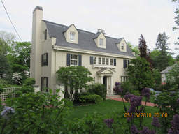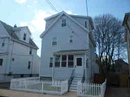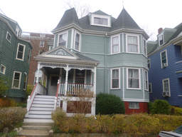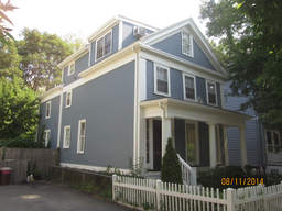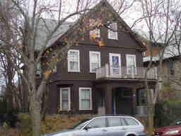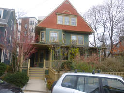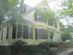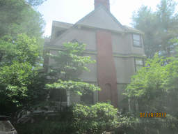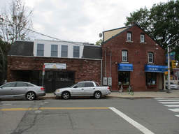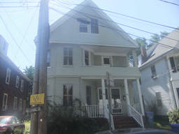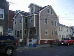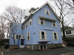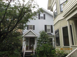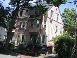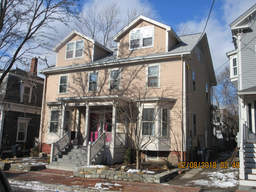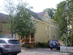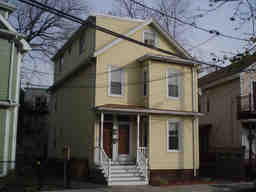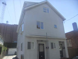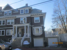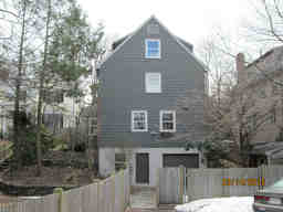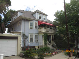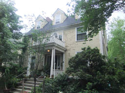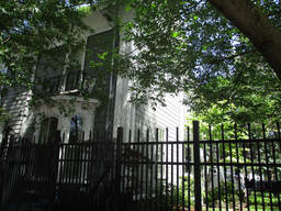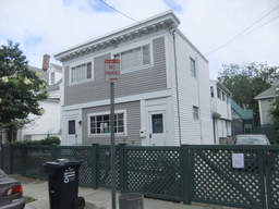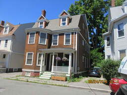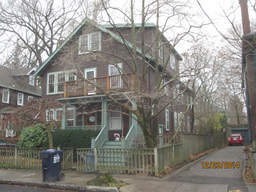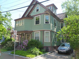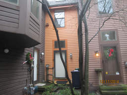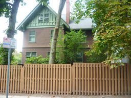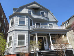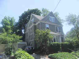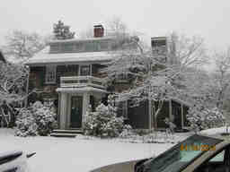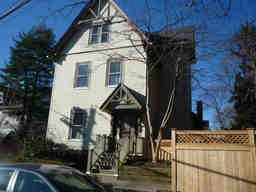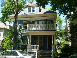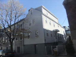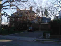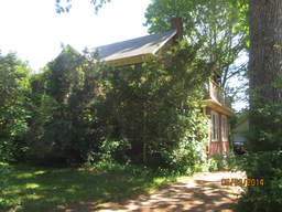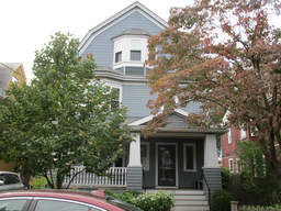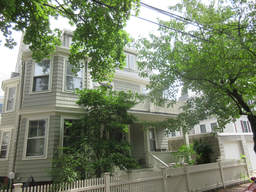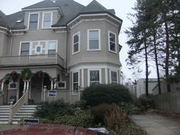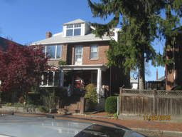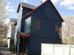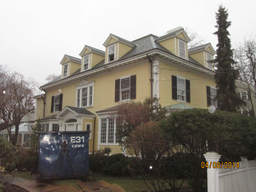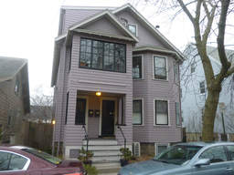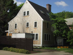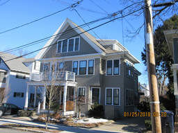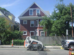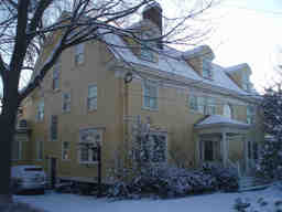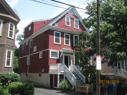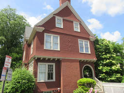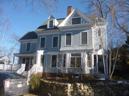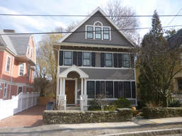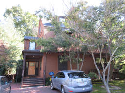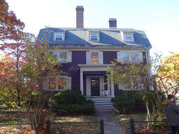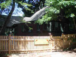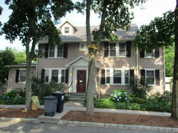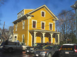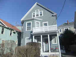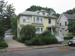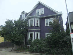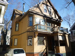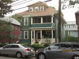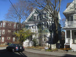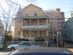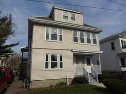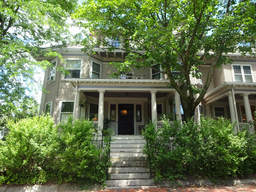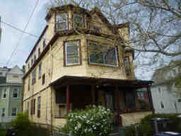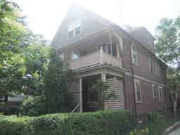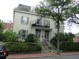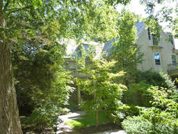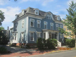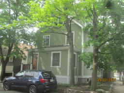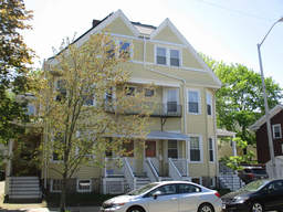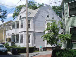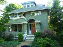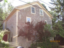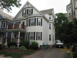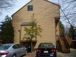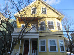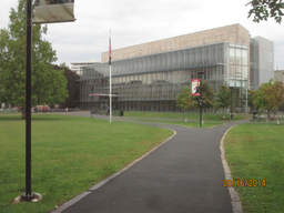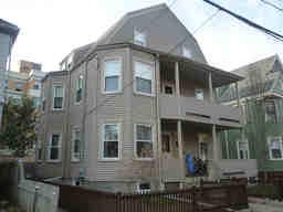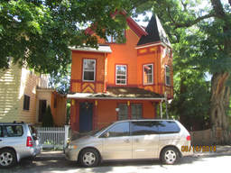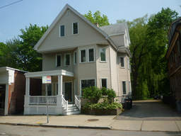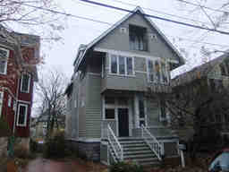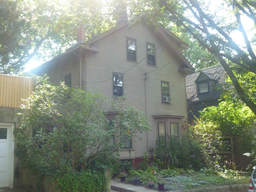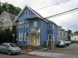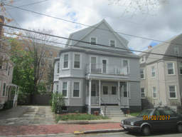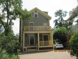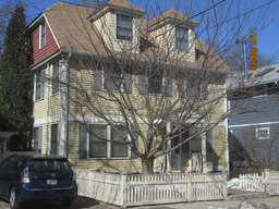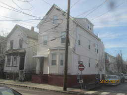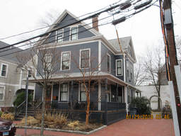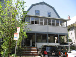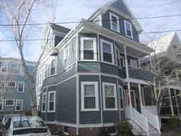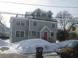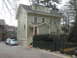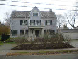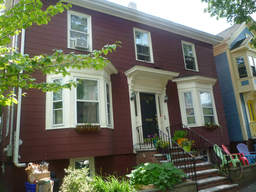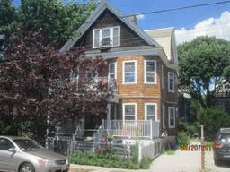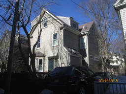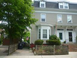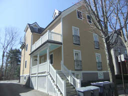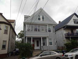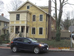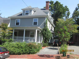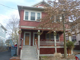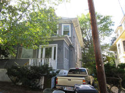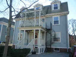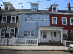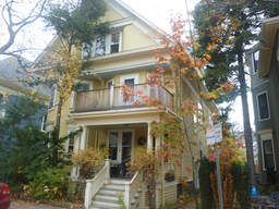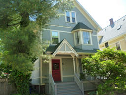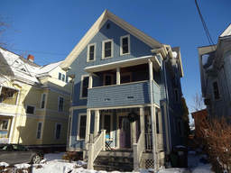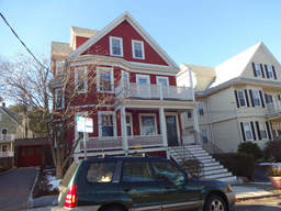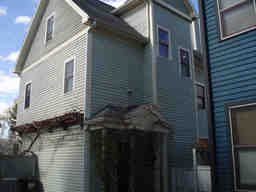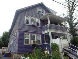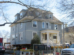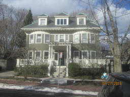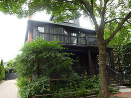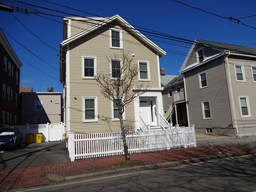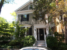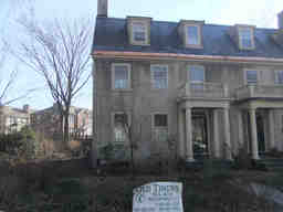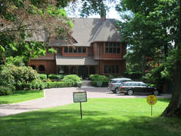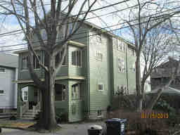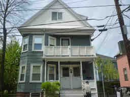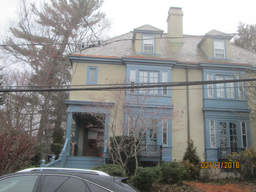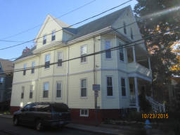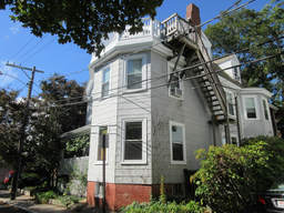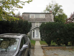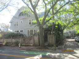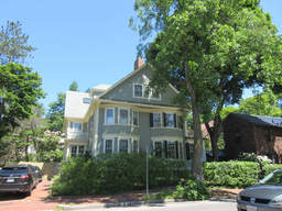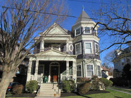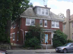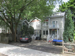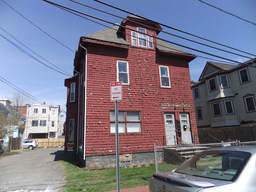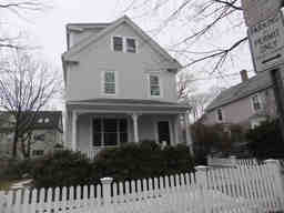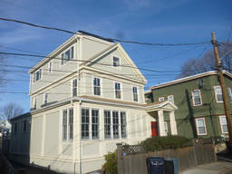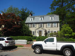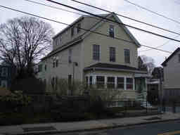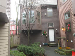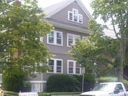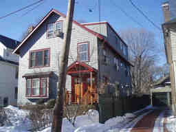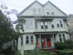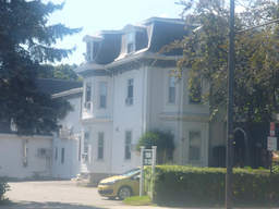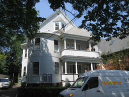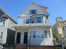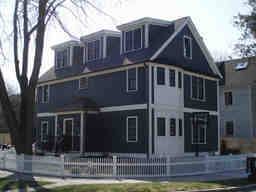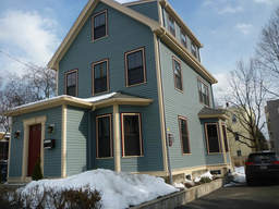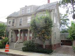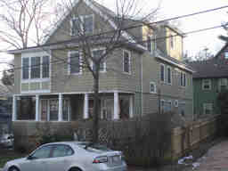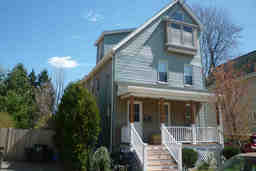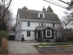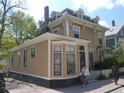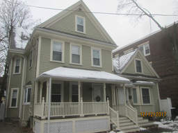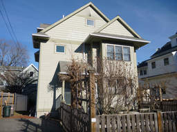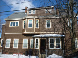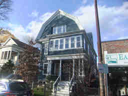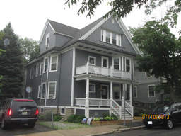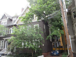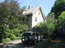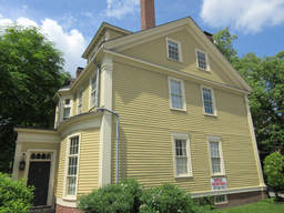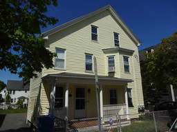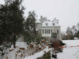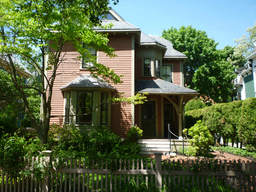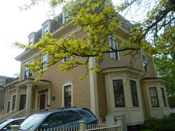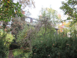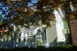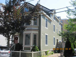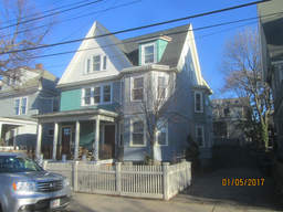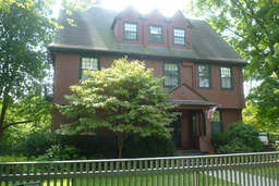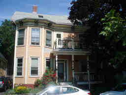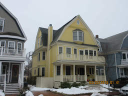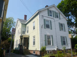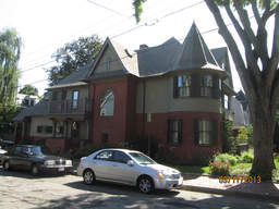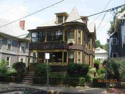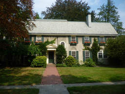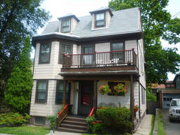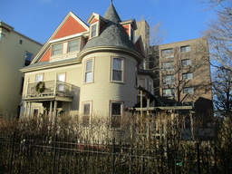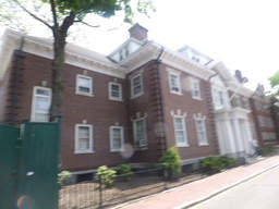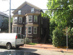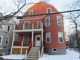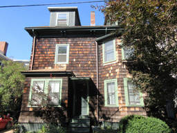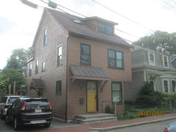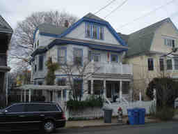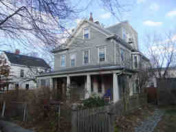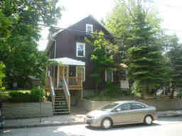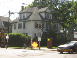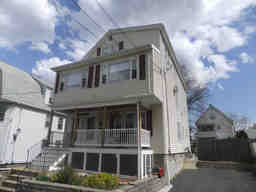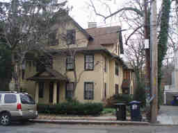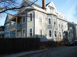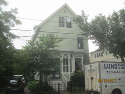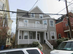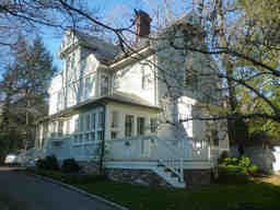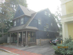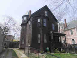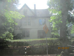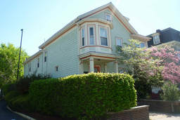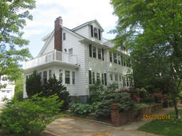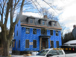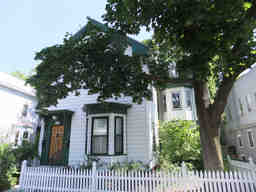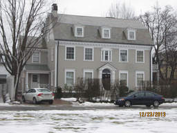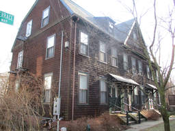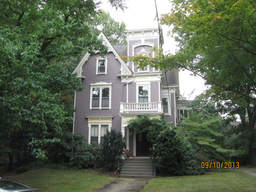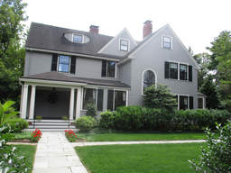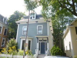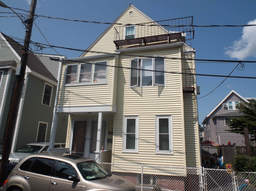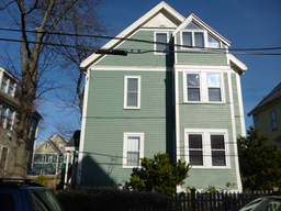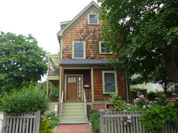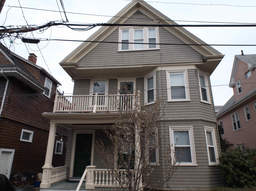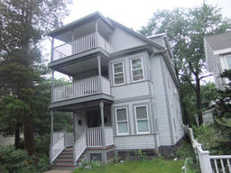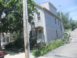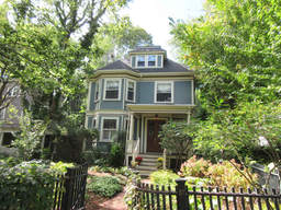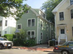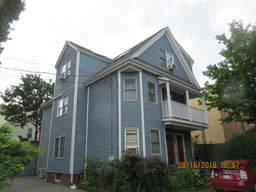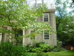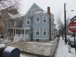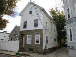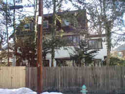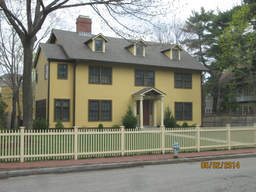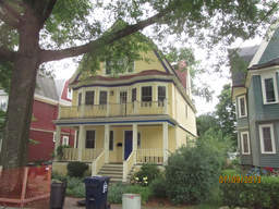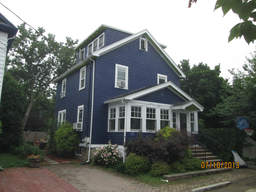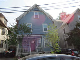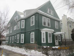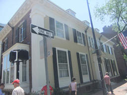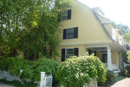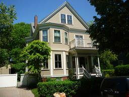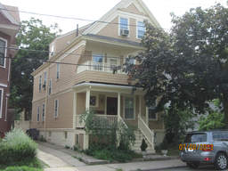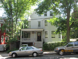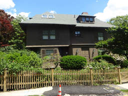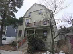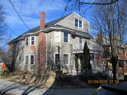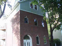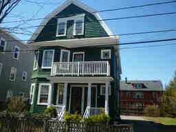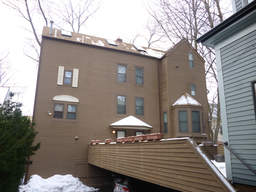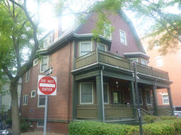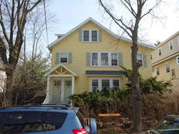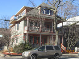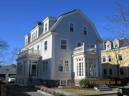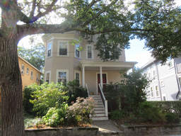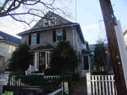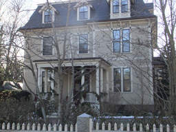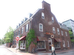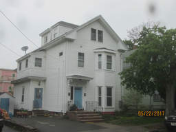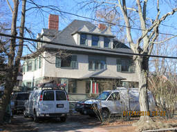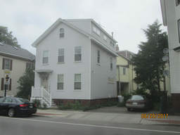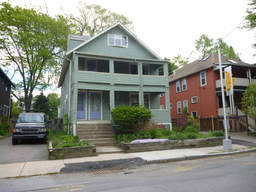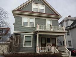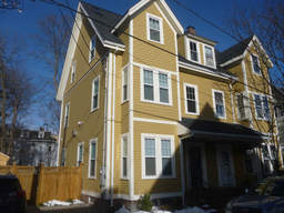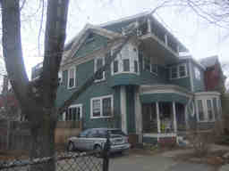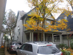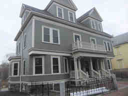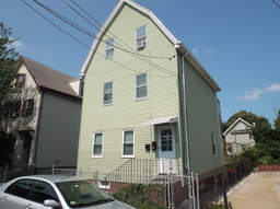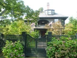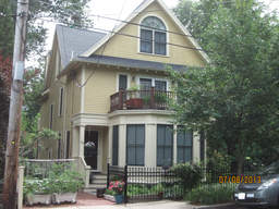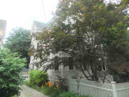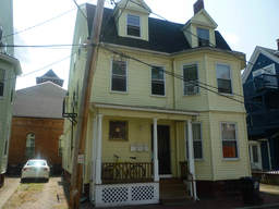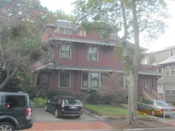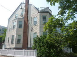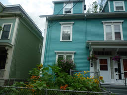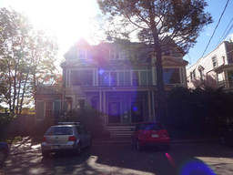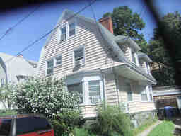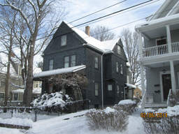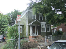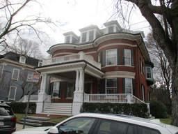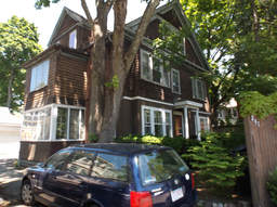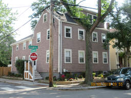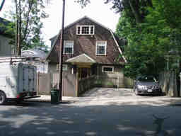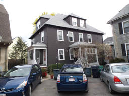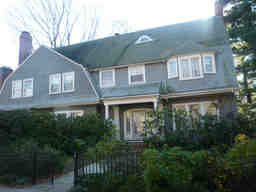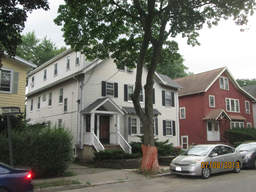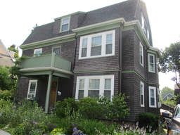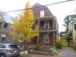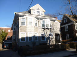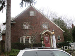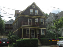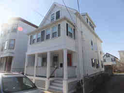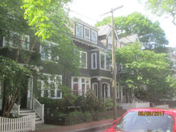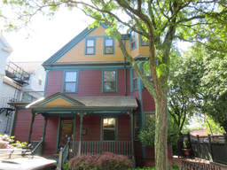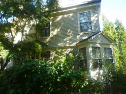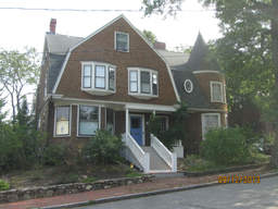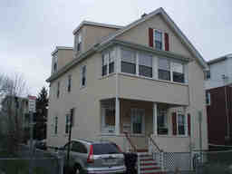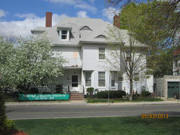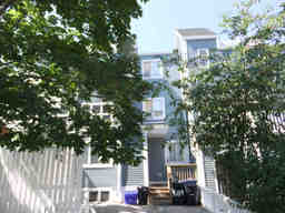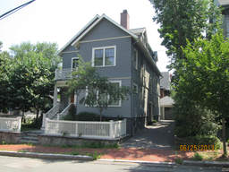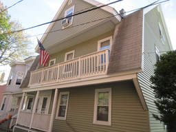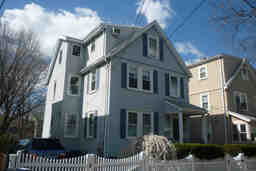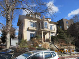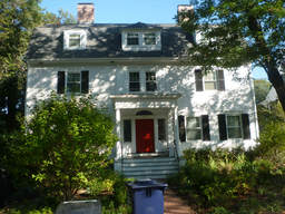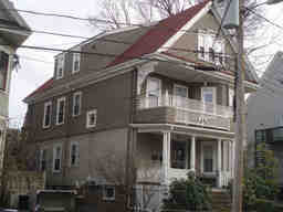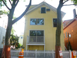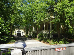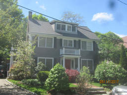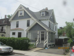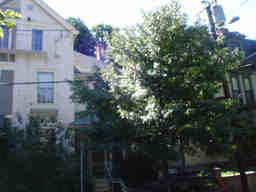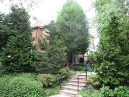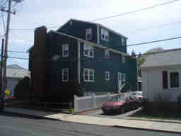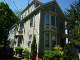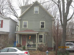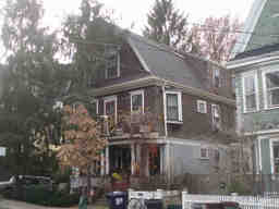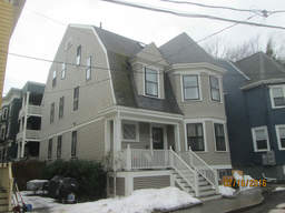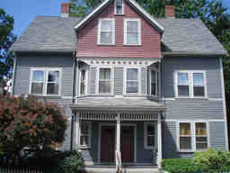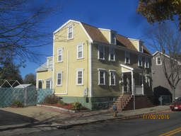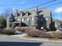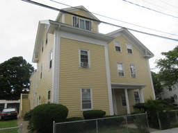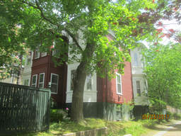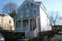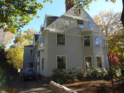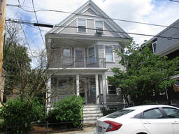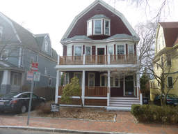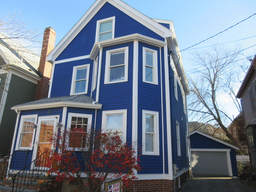
- 22 Tenney St (parcel map) (google map)
- Single family home
- 1825 square feet, 3018 sqft lot. (0.6 FAR)
- Zone: B
- Height: ~35.5 feet
- Built 1895
- Last Sold 7/29/2016 (1127000)
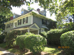
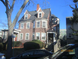
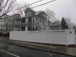
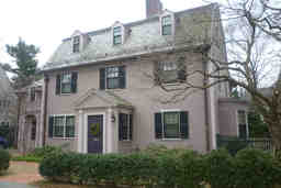
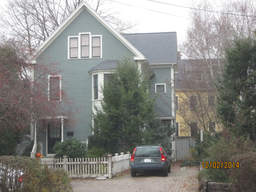
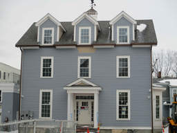
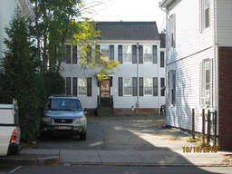
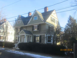
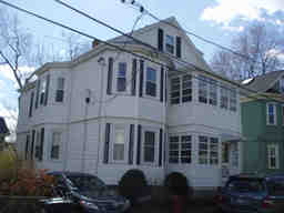
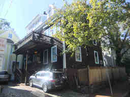
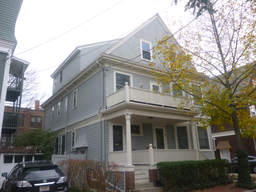
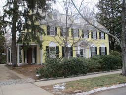
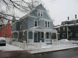
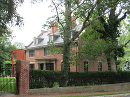
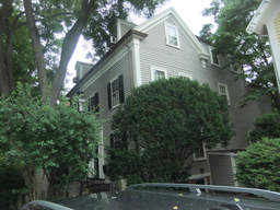
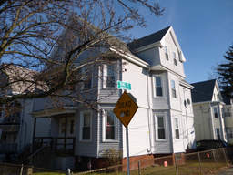
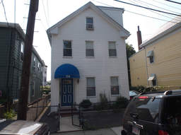
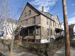
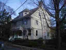
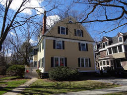
- 16 Avon St (parcel map) (google map)
- Single family home+apartment
- 4418 square feet, 12456 sqft lot. (0.4 FAR)
- Zone: B
- Height: ~35.1 feet
- Built 1903
- Last Sold 10/24/1997 (892500)
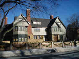
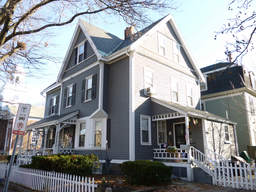
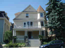
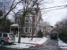
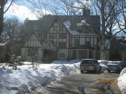
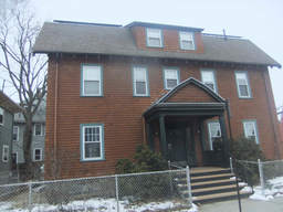
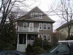
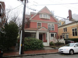
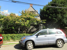
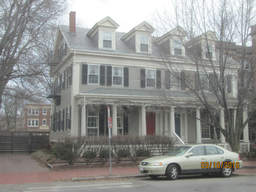
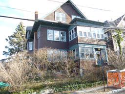
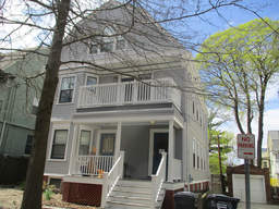
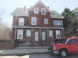
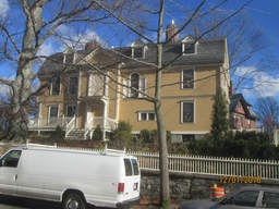
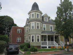
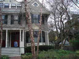
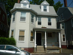
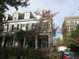
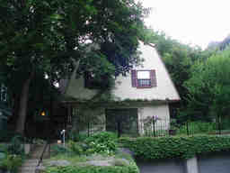
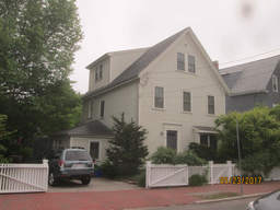
- 157 Brattle St (parcel map) (google map)
- Single family home
- 7567 square feet, 18600 sqft lot. (0.4 FAR)
- Zone: A-1
- Height: ~46.3 feet
- Built 1895
- Last Sold 5/7/2008 (3650000)
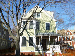
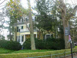
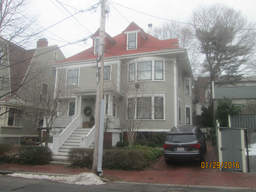
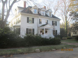
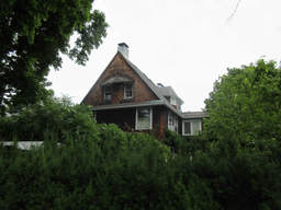
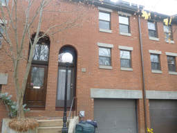
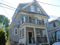
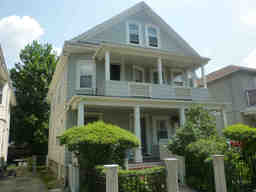
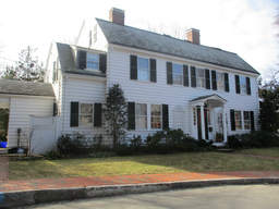
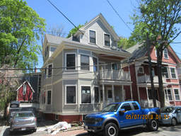
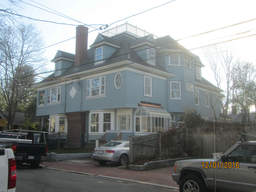
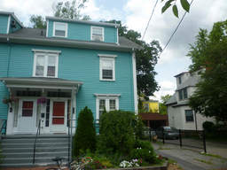
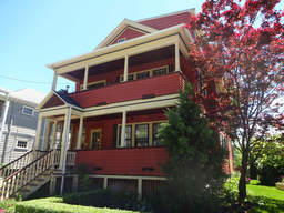
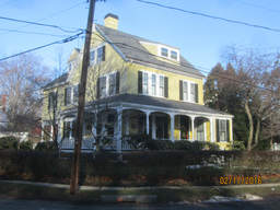
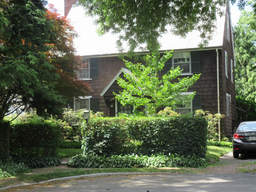
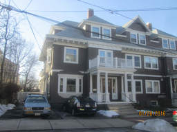
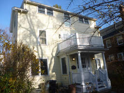
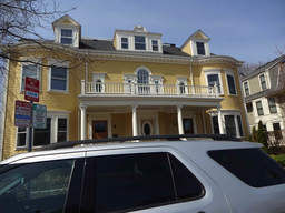
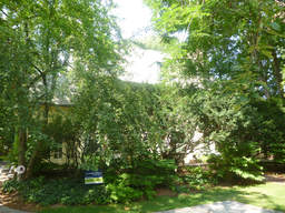
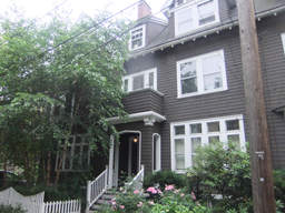
- 29 Blake St (parcel map) (google map)
- Single family home
- 2110 square feet, 4164 sqft lot. (0.5 FAR)
- Zone: B
- Height: ~35.1 feet
- Built 1888
- Last Sold 7/8/2009 (1080200)
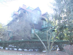
- 86 Sparks St (parcel map) (google map)
- Single family home+apartment
- 4542 square feet, 6583 sqft lot. (0.7 FAR)
- Zone: A-2
- Height: ~36.2 feet
- Built 1905
- Last Sold 10/3/1986 (720000)
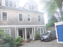
- 39F Bellis Cir (parcel map) (google map)
- Single family home
- 1665 square feet, 2384 sqft lot. (0.7 FAR)
- Zone: C-1A
- Height: ~38.6 feet
- Built 1988
- Last Sold 3/31/1999 (299000)
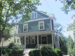
- 55 Upland Rd (parcel map) (google map)
- Two-family home
- 2960 square feet, 4882 sqft lot. (0.6 FAR)
- Zone: B
- Height: ~43.9 feet
- Built 1896
- Last Sold 4/9/1996 (485000)
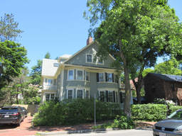
- 213 Brattle St (parcel map) (google map)
- Single family home
- 2648 square feet, 3310 sqft lot. (0.8 FAR)
- Zone: A-1
- Height: ~38.4 feet
- Built 1896
- Last Sold 1/30/1998 (610800)
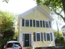
- 35 Foster St (parcel map) (google map)
- Single family home
- 2296 square feet, 2361 sqft lot. (1.0 FAR)
- Zone: A-2
- Height: ~31.6 feet
- Built 1854
- Last Sold 6/2/2004 (1700000)
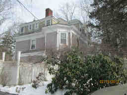
- 8 Lowell St (parcel map) (google map)
- Single family home
- 4672 square feet, 10683 sqft lot. (0.4 FAR)
- Zone: A-1
- Height: ~37.9 feet
- Built 1896
- Last Sold 9/5/1996 (1285000)
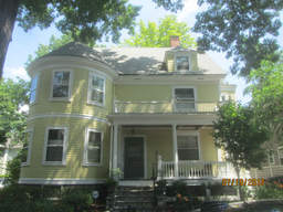
- 57 Orchard St (parcel map) (google map)
- Single family home
- 3307 square feet, 4660 sqft lot. (0.7 FAR)
- Zone: B
- Height: ~37.7 feet
- Built 1894
- Last Sold 7/21/2006 (1333000)
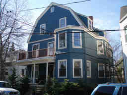
- 3 Highland Pk (parcel map) (google map)
- Two-family home
- 3576 square feet, 3441 sqft lot. (1.0 FAR)
- Zone: C-1
- Height: ~40.2 feet
- Built 1903
- Last Sold 7/23/2009 (1000000)
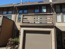
- 9B Russell St (parcel map) (google map)
- Single family home
- 1842 square feet, 1918 sqft lot. (1.0 FAR)
- Zone: B
- Height: ~38.8 feet
- Built 1984
- Last Sold 6/3/2016 (840000)
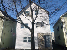
- 155 Fifth St (parcel map) (google map)
- Multi-family home
- 2461 square feet, 2131 sqft lot. (1.2 FAR)
- Zone: C-1
- Height: ~36.3 feet
- Built 1873
- Last Sold 11/14/2000 (450000)
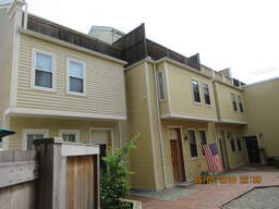
- 112A Inman St (parcel map) (google map)
- Single family home
- 1331 square feet, 1460 sqft lot. (0.9 FAR)
- Zone: C-1
- Height: ~35.2 feet
- Built 1983
- Last Sold 2/28/1989 (235000)
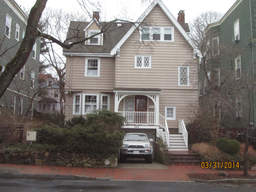
- 226 Upland Rd (parcel map) (google map)
- Single family home
- 3418 square feet, 6111 sqft lot. (0.6 FAR)
- Zone: C-1
- Height: ~35.2 feet
- Built 1903
- Last Sold 12/3/2013 (2037000)
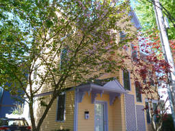
- 14A Bellis Cir (parcel map) (google map)
- Single family home
- 1907 square feet, 2813 sqft lot. (0.7 FAR)
- Zone: B
- Height: ~34.3 feet
- Built 1989
- Last Sold 6/30/2015 (1200000)
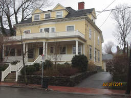
- 176 Upland Rd (parcel map) (google map)
- Single family home+apartment
- 3452 square feet, 6410 sqft lot. (0.5 FAR)
- Zone: B
- Height: ~35.8 feet
- Built 1978
- Last Sold 7/11/2013 (1955000)
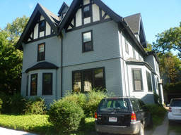
- 5 Berkeley Pl (parcel map) (google map)
- Single family home
- 5428 square feet, 6546 sqft lot. (0.8 FAR)
- Zone: A-2
- Height: ~35.9 feet
- Built 1900
- Last Sold 7/2/1974 (95000)
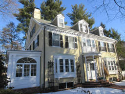
- 2 Larchwood Dr (parcel map) (google map)
- Single family home
- 4603 square feet, 11992 sqft lot. (0.4 FAR)
- Zone: A-1
- Height: ~33.2 feet
- Built 1929
- Last Sold 7/10/1984 (398000)
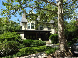
- 21 Washington Ave (parcel map) (google map)
- Single family home+apartment
- 5328 square feet, 17111 sqft lot. (0.3 FAR)
- Zone: A-2
- Height: ~47.0 feet
- Built 1908
- Last Sold 3/1/1999 (1450000)
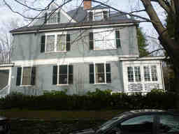
- 10 Channing Pl (parcel map) (google map)
- Single family home
- 5223 square feet, 7551 sqft lot. (0.7 FAR)
- Zone: A-1
- Height: ~44.8 feet
- Built 1898
- Last Sold 9/25/1992 (850000)
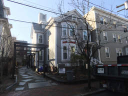
- 20 Flagg St (parcel map) (google map)
- Single family home
- 2130 square feet, 3575 sqft lot. (0.6 FAR)
- Zone: C-1
- Height: ~35.4 feet
- Built 1874
- Last Sold 4/22/2010 (1258150)
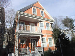
- 21 Traymore St (parcel map) (google map)
- Single family home
- 2732 square feet, 2367 sqft lot. (1.2 FAR)
- Zone: C-1
- Height: ~37.5 feet
- Built 1903
- Last Sold 10/9/2012 (1275000)
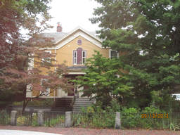
- 27 Shepard St (parcel map) (google map)
- Single family home
- 2711 square feet, 3929 sqft lot. (0.7 FAR)
- Zone: B
- Height: ~35.2 feet
- Built 1873
- Last Sold 5/14/2004 (995000)
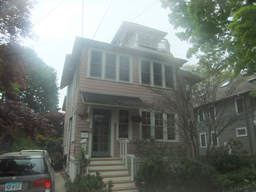
- 108 Larch Rd (parcel map) (google map)
- Two-family home
- 3718 square feet, 6626 sqft lot. (0.6 FAR)
- Zone: B
- Height: ~35.5 feet
- Built 1930
- Last Sold 6/27/2014 (1976320)
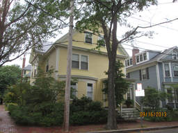
- 60 Walker St (parcel map) (google map)
- Single family home
- 3197 square feet, 3519 sqft lot. (0.9 FAR)
- Zone: B
- Height: ~38.9 feet
- Built 1886
- Last Sold 12/29/1993 (468000)
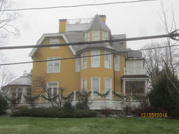
- 51 Highland St (parcel map) (google map)
- Single family home
- 7446 square feet, 24250 sqft lot. (0.3 FAR)
- Zone: A-1
- Height: ~46.3 feet
- Built 1873
- Last Sold 6/1/2000 (5900000)
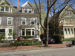
- 165 Upland Rd (parcel map) (google map)
- Two-family home
- 2407 square feet, 2985 sqft lot. (0.8 FAR)
- Zone: B
- Height: ~37.9 feet
- Built 1905
- Last Sold 1/23/1990 (390000)
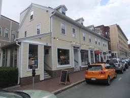
- 3-5 Arrow St (parcel map) (google map)
- Retail space
- 7956 square feet, 3109 sqft lot. (2.6 FAR)
- Zone: C-2B
- Height: ~38.8 feet
- Built 1857
- Last Sold 12/9/2011 (3227000)
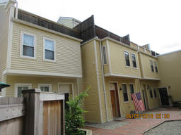
- 112C Inman St (parcel map) (google map)
- Single family home
- 1331 square feet, 993 sqft lot. (1.3 FAR)
- Zone: C-1
- Height: ~35.2 feet
- Built 1902
- Last Sold 11/4/2016 (890000)
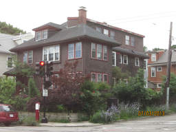
- 292 Huron Ave (parcel map) (google map)
- Two-family home
- 3310 square feet, 4685 sqft lot. (0.7 FAR)
- Zone: B
- Height: ~32.7 feet
- Built 1922
- Last Sold 7/18/1997 (542000)
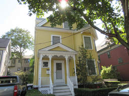
- 16 Milton St (parcel map) (google map)
- Single family home
- 2514 square feet, 3161 sqft lot. (0.8 FAR)
- Zone: B
- Height: ~35.5 feet
- Built 1892
- Last Sold 1/5/1981 (80000)
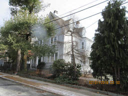
- 37 Larch Rd (parcel map) (google map)
- Single family home
- 3046 square feet, 8624 sqft lot. (0.4 FAR)
- Zone: A-1
- Height: ~35.7 feet
- Built 1886
- Last Sold 6/5/1996 (797000)
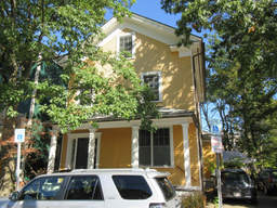
- 45 Kelley St (parcel map) (google map)
- Single family home
- 3174 square feet, 5157 sqft lot. (0.6 FAR)
- Zone: B
- Height: ~34.8 feet
- Built 1864
- Last Sold 10/22/1997 (355000)
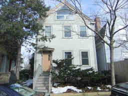
- 89 Wendell St (parcel map) (google map)
- Single family home
- 1490 square feet, 2081 sqft lot. (0.7 FAR)
- Zone: C-1
- Height: ~32.8 feet
- Built 1873
- Last Sold 12/31/2012 (840000)
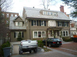
- 13 Follen St (parcel map) (google map)
- Single family home
- 4645 square feet, 12423 sqft lot. (0.4 FAR)
- Zone: A-1
- Height: ~37.5 feet
- Built 1900
- Last Sold 5/24/2007 (3750000)
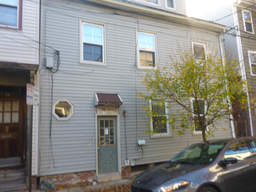
- 57 Seventh St (parcel map) (google map)
- Multi-family home
- 2382 square feet, 1787 sqft lot. (1.3 FAR)
- Zone: C-1
- Height: ~40.4 feet
- Built 1873
- Last Sold 6/30/1995 (184000)
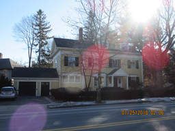
- 190 Brattle St (parcel map) (google map)
- Single family home
- 4188 square feet, 9566 sqft lot. (0.4 FAR)
- Zone: A-1
- Height: ~37.1 feet
- Built 1898
- Last Sold 1/31/2017 (3900000)
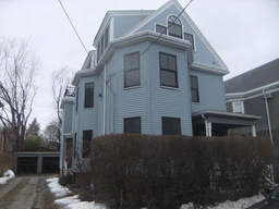
- 341 Pearl St (parcel map) (google map)
- Two-family home
- 3016 square feet, 5149 sqft lot. (0.6 FAR)
- Zone: C
- Height: ~36.6 feet
- Built 1894
- Last Sold 4/20/2012 (1216000)
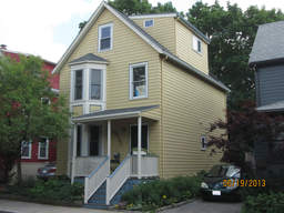
- 18 Stearns St (parcel map) (google map)
- Single family home
- 1816 square feet, 3259 sqft lot. (0.6 FAR)
- Zone: C-1
- Height: ~30.7 feet
- Built 1905
- Last Sold 8/25/1992 (326500)
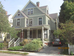
- 32 Gray St (parcel map) (google map)
- Two-family home
- 2883 square feet, 4857 sqft lot. (0.6 FAR)
- Zone: B
- Height: ~37.0 feet
- Built 1880
- Last Sold 1/27/1989 (550000)
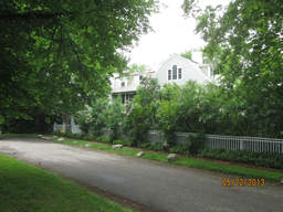
- 11 Gray Gdns W (parcel map) (google map)
- Single family home+apartment
- 7747 square feet, 18689 sqft lot. (0.4 FAR)
- Zone: A-2
- Height: ~30.8 feet
- Built 1923
- Last Sold 7/29/1994 (960000)
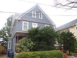
- 34 High St (parcel map) (google map)
- Single family home
- 2724 square feet, 3408 sqft lot. (0.8 FAR)
- Zone: B
- Height: ~41.8 feet
- Built 1899
- Last Sold 8/31/2004 (907000)
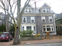
- 167 Upland Rd (parcel map) (google map)
- Single family home+apartment
- 2281 square feet, 3111 sqft lot. (0.7 FAR)
- Zone: B
- Height: ~37.9 feet
- Built 1905
- Last Sold 6/23/2005 (1200000)
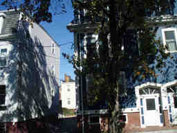
- 333 Hurley St (parcel map) (google map)
- Two-family home
- 1669 square feet, 1509 sqft lot. (1.1 FAR)
- Zone: C-1
- Height: ~36.3 feet
- Built 1873
- Last Sold 4/23/1992 (112200)
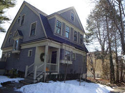
- 95 Oxford Ave (parcel map) (google map)
- Single family home
- 2659 square feet, 5559 sqft lot. (0.5 FAR)
- Zone: C-1
- Height: ~36.7 feet
- Built 1903
- Last Sold 11/23/1987 (400000)
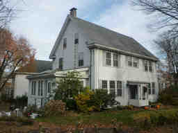
- 1 Dunstable Rd (parcel map) (google map)
- Single family home
- 2834 square feet, 6741 sqft lot. (0.4 FAR)
- Zone: A-2
- Height: ~31.8 feet
- Built 1923
- Last Sold 12/1/1999 (965000)
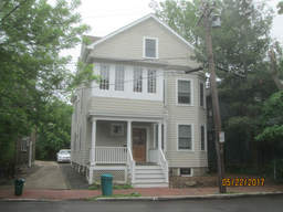
- 74 Huron Ave (parcel map) (google map)
- Two-family home
- 2586 square feet, 3023 sqft lot. (0.9 FAR)
- Zone: B
- Height: ~34.5 feet
- Built 1929
- Last Sold 10/2/1991 (205000)
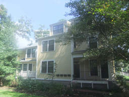
- 11 Sumner Rd (parcel map) (google map)
- Apartment building
- 5139 square feet, 7882 sqft lot. (0.7 FAR)
- Zone: C-1
- Height: ~34.3 feet
- Built 1890
- Last Sold 8/31/1977 (65000)
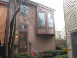
- 6 Cogswell Ct (parcel map) (google map)
- Single family home
- 1233 square feet, 2123 sqft lot. (0.6 FAR)
- Zone: B
- Height: ~29.1 feet
- Built 1985
- Last Sold 9/26/1997 (220000)
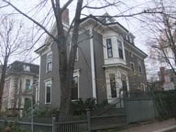
- 17 Humboldt St (parcel map) (google map)
- Single family home
- 3857 square feet, 5546 sqft lot. (0.7 FAR)
- Zone: A-2
- Height: ~41.1 feet
- Built 1870
- Last Sold 6/30/2014 (2865000)
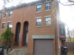
- 11-8 Dana St (parcel map) (google map)
- Single family home+apartment
- 1889 square feet, 3052 sqft lot. (0.6 FAR)
- Zone: C-1
- Height: ~53.6 feet
- Built 1980
- Last Sold 9/4/2001 (660000)
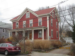
- 50 Haskell St (parcel map) (google map)
- Single family home
- 2219 square feet, 5114 sqft lot. (0.4 FAR)
- Zone: B
- Height: ~36.8 feet
- Built 1858
- Last Sold 9/29/1995 (230000)
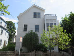
- 10 Locke St (parcel map) (google map)
- Single family home
- 2298 square feet, 3889 sqft lot. (0.6 FAR)
- Zone:
- Height: ~34.0 feet
- Built 1880
- Last Sold 8/15/2016 (1601000)
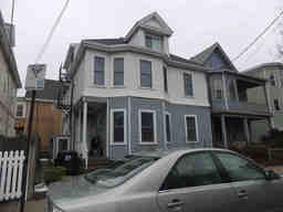
- 57 Norris St (parcel map) (google map)
- Multi-family home
- 2710 square feet, 1965 sqft lot. (1.4 FAR)
- Zone: B
- Height: ~33.6 feet
- Built 1935
- Last Sold 8/2/2011 (500000)
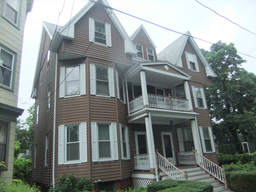
- 61 Gorham St (parcel map) (google map)
- Two-family home
- 4527 square feet, 7360 sqft lot. (0.6 FAR)
- Zone: C-1
- Height: ~40.7 feet
- Built 1893
- Last Sold 7/18/1978 (11500)
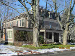
- 68 Lakeview Ave (parcel map) (google map)
- Single family home
- 5166 square feet, 15229 sqft lot. (0.3 FAR)
- Zone: A-1
- Height: ~39.3 feet
- Built 1871
- Last Sold 12/10/2003 (2850000)
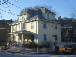
- 181 Upland Rd (parcel map) (google map)
- Single family home
- 3031 square feet, 3768 sqft lot. (0.8 FAR)
- Zone: B
- Height: ~37.1 feet
- Built 1900
- Last Sold 7/21/1994 (430000)
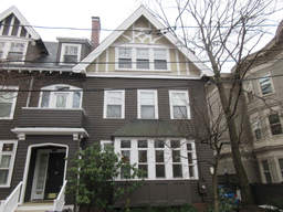
- 18 Hilliard St (parcel map) (google map)
- Single family home+apartment
- 2479 square feet, 1875 sqft lot. (1.3 FAR)
- Zone: B
- Height: ~38.6 feet
- Built 1900
- Last Sold 4/28/2016 (2137000)
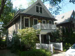
- 23 Gurney St (parcel map) (google map)
- Single family home
- 3326 square feet, 3804 sqft lot. (0.9 FAR)
- Zone: B
- Height: ~32.9 feet
- Built 1916
- Last Sold 2/8/2005 (1999999)
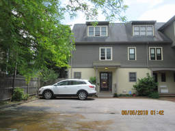
- 14 Eustis St (parcel map) (google map)
- Single family home
- 1782 square feet, 2990 sqft lot. (0.6 FAR)
- Zone: C-1
- Height: ~35.7 feet
- Built 1994
- Last Sold 7/10/2012 (940000)
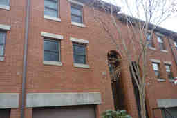
- 11-5 Dana St (parcel map) (google map)
- Single family home+apartment
- 1844 square feet, 1846 sqft lot. (1.0 FAR)
- Zone: C-1
- Height: ~40.1 feet
- Built 1980
- Last Sold 1/20/1995 (333000)
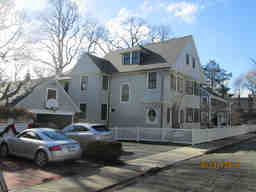
- 46 Brewster St (parcel map) (google map)
- Single family home
- 5164 square feet, 11365 sqft lot. (0.5 FAR)
- Zone: A-1
- Height: ~39.5 feet
- Built 1894
- Last Sold 12/23/2011 (3869000)
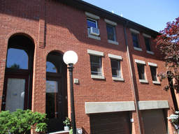
- 11-4 Dana St (parcel map) (google map)
- Single family home+apartment
- 1487 square feet, 1606 sqft lot. (0.9 FAR)
- Zone: C-1
- Height: ~40.1 feet
- Built 1980
- Last Sold 12/31/2008 (500000)
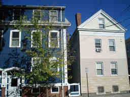
- 331 Hurley St (parcel map) (google map)
- Two-family home
- 1669 square feet, 1123 sqft lot. (1.5 FAR)
- Zone: C-1
- Height: ~36.3 feet
- Built 1873
- Last Sold 4/30/1992 (114800)
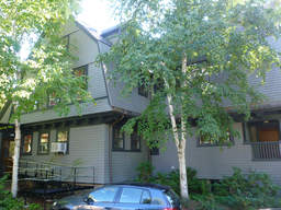
- 6 Clement Cir (parcel map) (google map)
- Single family home
- 5359 square feet, 9031 sqft lot. (0.6 FAR)
- Zone: A-2
- Height: ~38.4 feet
- Built 1898
- Last Sold 6/6/1980 (10000)
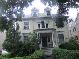
- 65 Hammond St (parcel map) (google map)
- Two-family home
- 4996 square feet, 5333 sqft lot. (0.9 FAR)
- Zone: C-1
- Height: ~40.0 feet
- Built 1902
- Last Sold 7/28/1987 (55000)
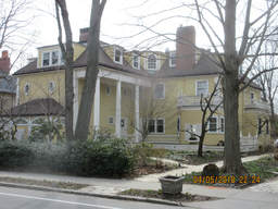
- 168 Brattle St (parcel map) (google map)
- Single family home
- 8372 square feet, 21089 sqft lot. (0.4 FAR)
- Zone: A-1
- Height: ~37.3 feet
- Built 1840
- Last Sold 10/20/2017 (7400000)
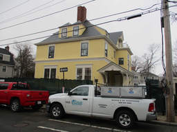
- 23 Hawthorn St (parcel map) (google map)
- Single family home+apartment
- 6298 square feet, 11906 sqft lot. (0.5 FAR)
- Zone: A-2
- Height: ~45.3 feet
- Built 1886
- Last Sold 7/10/2015 (3950000)
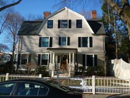
- 11 Channing St (parcel map) (google map)
- Single family home
- 4944 square feet, 10442 sqft lot. (0.5 FAR)
- Zone: A-1
- Height: ~38.8 feet
- Built 1890
- Last Sold 11/20/2003 (3462500)
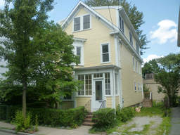
- 23 St Mary Rd (parcel map) (google map)
- Single family home
- 2218 square feet, 3306 sqft lot. (0.7 FAR)
- Zone: C-1
- Height: ~45.2 feet
- Built 1886
- Last Sold 1/9/1998 (303975)
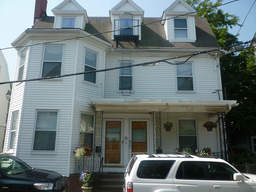
- 6 St Paul St (parcel map) (google map)
- Two-family home
- 3364 square feet, 2913 sqft lot. (1.2 FAR)
- Zone: C-1
- Height: ~41.4 feet
- Built 1902
- Last Sold 10/7/1992 (253000)
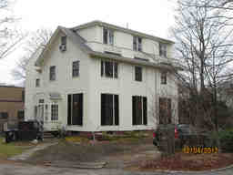
- 14 Kirkland Pl (parcel map) (google map)
- Single family home+apartment
- 3874 square feet, 16425 sqft lot. (0.2 FAR)
- Zone: A-2
- Height: ~33.0 feet
- Built 1839
- Last Sold 2/8/2008 (1700000)
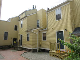
- 110B Inman St (parcel map) (google map)
- Single family home
- 1416 square feet, 1045 sqft lot. (1.4 FAR)
- Zone: C-1
- Height: ~35.2 feet
- Built 1984
- Last Sold 7/17/1984 (130000)
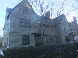
- 17 Lakeview Ave (parcel map) (google map)
- Single family home+apartment
- 5890 square feet, 9590 sqft lot. (0.6 FAR)
- Zone: A-1
- Height: ~38.9 feet
- Built 1903
- Last Sold 7/2/2013 (3395000)
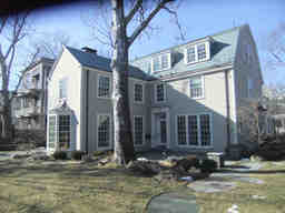
- 24 Gray Gdns W (parcel map) (google map)
- Single family home
- 4126 square feet, 11671 sqft lot. (0.4 FAR)
- Zone: A-2
- Height: ~32.2 feet
- Built 1928
- Last Sold 5/31/1996 (960000)
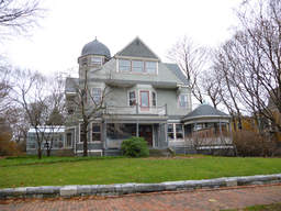
- 6 Walnut Ave (parcel map) (google map)
- Single family home+apartment
- 5089 square feet, 26728 sqft lot. (0.2 FAR)
- Zone: A-2
- Height: ~41.3 feet
- Built 1886
- Last Sold 7/14/1993 (8700)
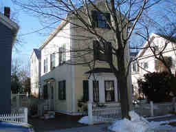
- 628 Green St (parcel map) (google map)
- Single family home
- 1860 square feet, 3250 sqft lot. (0.6 FAR)
- Zone: C-1
- Height: ~29.5 feet
- Built 1873
- Last Sold 11/12/2010 (858000)
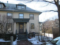
- 1 Walker St (parcel map) (google map)
- Single family home
- 2735 square feet, 5276 sqft lot. (0.5 FAR)
- Zone: B
- Height: ~38.7 feet
- Built 1902
- Last Sold 9/18/1995 (580000)
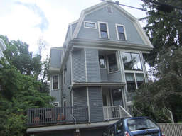
- 62 Wendell St (parcel map) (google map)
- Single family home
- 1236 square feet, 1580 sqft lot. (0.8 FAR)
- Zone: C-1
- Height: ~39.8 feet
- Built 1982
- Last Sold 8/13/2007 (635000)
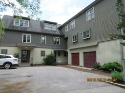
- 10 Eustis St (parcel map) (google map)
- Single family home
- 1745 square feet, 2238 sqft lot. (0.8 FAR)
- Zone: C-1
- Height: ~35.7 feet
- Built 1994
- Last Sold 11/30/2009 (685000)
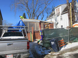
- 29 Bellis Cir (parcel map) (google map)
- Single family home
- 2286 square feet, 5200 sqft lot. (0.4 FAR)
- Zone: B
- Height: ~32.4 feet
- Built 1856
- Last Sold 5/9/2014 (1300000)
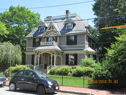
- 10 Follen St (parcel map) (google map)
- Single family home
- 5602 square feet, 12101 sqft lot. (0.5 FAR)
- Zone: A-1
- Height: ~42.4 feet
- Built 1886
- Last Sold 3/5/1993 (1030000)
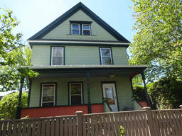
- 56 Bellis Cir (parcel map) (google map)
- Single family home
- 2813 square feet, 3909 sqft lot. (0.7 FAR)
- Zone: B
- Height: ~34.6 feet
- Built 1855
- Last Sold 3/30/2004 (616000)
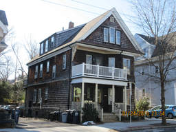
- 386 Huron Ave (parcel map) (google map)
- Two-family home
- 3113 square feet, 3177 sqft lot. (1.0 FAR)
- Zone: B
- Height: ~37.1 feet
- Built 1903
- Last Sold 10/21/1986 (213000)
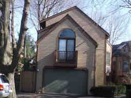
- 1 Cogswell Ct (parcel map) (google map)
- Single family home
- 1501 square feet, 2039 sqft lot. (0.7 FAR)
- Zone: B
- Height: ~30.5 feet
- Built 1985
- Last Sold 6/23/2011 (450000)
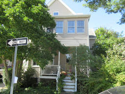
- 19 Sargent St (parcel map) (google map)
- Two-family home
- 2713 square feet, 5001 sqft lot. (0.5 FAR)
- Zone: B
- Height: ~35.9 feet
- Built 1905
- Last Sold 12/19/1995 (200000)
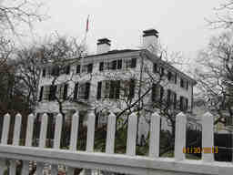
- 175 Brattle St (parcel map) (google map)
- Single family home
- 6290 square feet, 21341 sqft lot. (0.3 FAR)
- Zone: A-1
- Height: ~38.6 feet
- Built 1760
- Last Sold 1/2/1998 (2325000)
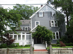
- 43 Larch Rd (parcel map) (google map)
- Single family home
- 4230 square feet, 10324 sqft lot. (0.4 FAR)
- Zone: A-1
- Height: ~36.9 feet
- Built 1886
- Last Sold 10/19/1982 (236000)
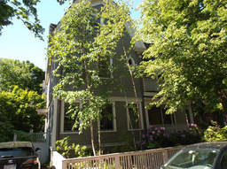
- 10 Kenway St (parcel map) (google map)
- Single family home
- 2907 square feet, 3671 sqft lot. (0.8 FAR)
- Zone: B
- Height: ~38.3 feet
- Built 1905
- Last Sold 10/15/2010 (2035000)
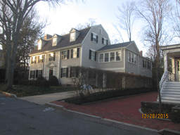
- 16 Channing Pl (parcel map) (google map)
- Single family home
- 4207 square feet, 7688 sqft lot. (0.5 FAR)
- Zone: A-1
- Height: ~32.2 feet
- Built 1928
- Last Sold 9/15/2000 (1450000)
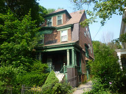
- 29 Fayette St (parcel map) (google map)
- Single family home
- 2650 square feet, 6593 sqft lot. (0.4 FAR)
- Zone: C-1
- Height: ~44.6 feet
- Built 1900
- Last Sold 8/10/1990 (400000)
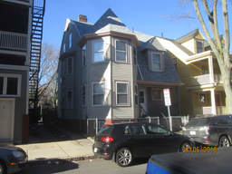
- 3 Fayette St (parcel map) (google map)
- Two-family home
- 3084 square feet, 2393 sqft lot. (1.3 FAR)
- Zone: C-1
- Height: ~37.9 feet
- Built 1898
- Last Sold 3/1/1979 (20000)
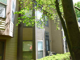
- 2 Cogswell Ct (parcel map) (google map)
- Single family home
- 1207 square feet, 1486 sqft lot. (0.8 FAR)
- Zone: B
- Height: ~30.5 feet
- Built 1985
- Last Sold 8/26/2015 (485000)
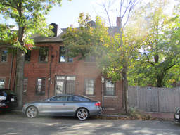
- 214 Third St (parcel map) (google map)
- Single family home
- 975 square feet, 1154 sqft lot. (0.8 FAR)
- Zone: C-1
- Height: ~29.8 feet
- Built 1826
- Last Sold 1/11/2007 (255625)
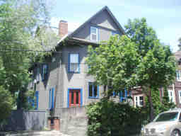
- 21 Royal Ave (parcel map) (google map)
- Two-family home
- 3245 square feet, 5308 sqft lot. (0.6 FAR)
- Zone: B
- Height: ~39.9 feet
- Built 1902
- Last Sold 9/8/1976 (91000)
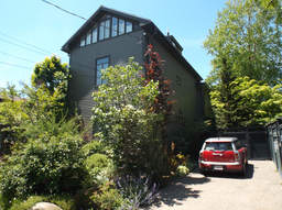
- 7 Willard St (parcel map) (google map)
- Single family home
- 2745 square feet, 4519 sqft lot. (0.6 FAR)
- Zone: A-2
- Height: ~30.5 feet
- Built 1873
- Last Sold 1/16/2004 (1329500)
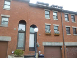
- 11-2 Dana St (parcel map) (google map)
- Single family home
- 1828 square feet, 1635 sqft lot. (1.1 FAR)
- Zone: C-1
- Height: ~53.6 feet
- Built 1980
- Last Sold 8/29/1994 (331450)
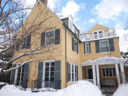
- 22 Francis Ave (parcel map) (google map)
- Single family home
- 5042 square feet, 7706 sqft lot. (0.7 FAR)
- Zone: A-2
- Height: ~34.3 feet
- Built 1912
- Last Sold 5/14/2004 (3672500)
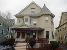
- 13 Haskell St (parcel map) (google map)
- Two-family home
- 3665 square feet, 6404 sqft lot. (0.6 FAR)
- Zone: B
- Height: ~38.1 feet
- Built 1895
- Last Sold 12/16/1981 (89510)
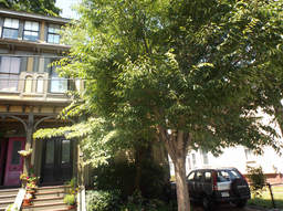
- 63 Ellery St (parcel map) (google map)
- Single family home
- 2646 square feet, 2794 sqft lot. (0.9 FAR)
- Zone: C-1
- Height: ~39.0 feet
- Built 1873
- Last Sold 5/24/2007 (1275000)
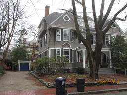
- 25 Brewster St (parcel map) (google map)
- Single family home
- 2856 square feet, 4549 sqft lot. (0.6 FAR)
- Zone: A-1
- Height: ~40.3 feet
- Built 1885
- Last Sold 5/28/2013 (1730000)
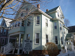
- 32 Walden St (parcel map) (google map)
- Multi-family home
- 3449 square feet, 3327 sqft lot. (1.0 FAR)
- Zone: B
- Height: ~37.0 feet
- Built 1903
- Last Sold 9/18/2014 (1475000)
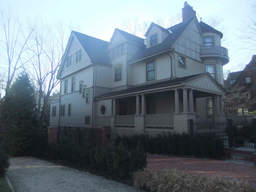
- 24 Highland St (parcel map) (google map)
- Single family home+apartment
- 5072 square feet, 13326 sqft lot. (0.4 FAR)
- Zone: A-1
- Height: ~42.3 feet
- Built 1888
- Last Sold 6/29/2010 (2700000)
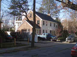
- 24 Berkeley St (parcel map) (google map)
- Single family home
- 3370 square feet, 6407 sqft lot. (0.5 FAR)
- Zone: A-2
- Height: ~30.8 feet
- Built 1936
- Last Sold 5/27/2011 (1695000)
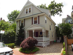
- 75 Frost St (parcel map) (google map)
- Single family home
- 2520 square feet, 2949 sqft lot. (0.9 FAR)
- Zone: B
- Height: ~34.4 feet
- Built 1896
- Last Sold 9/1/2006 (935000)
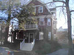
- 40 Royal Ave (parcel map) (google map)
- Multi-family home
- 3182 square feet, 5286 sqft lot. (0.6 FAR)
- Zone: B
- Height: ~39.4 feet
- Built 1907
- Last Sold 12/1/1987 (437250)
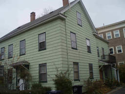
- 125 Pearl St (parcel map) (google map)
- Multi-family home
- 2546 square feet, 3458 sqft lot. (0.7 FAR)
- Zone:
- Height: ~30.2 feet
- Built 1854
- Last Sold 6/5/2017 (1250000)
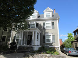
- 79 Upland Rd (parcel map) (google map)
- Single family home
- 3418 square feet, 4500 sqft lot. (0.8 FAR)
- Zone: B
- Height: ~39.7 feet
- Built 1896
- Last Sold 6/29/2007 (1100000)
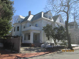
- 12 Hawthorn St (parcel map) (google map)
- Single family home
- 3522 square feet, 4401 sqft lot. (0.8 FAR)
- Zone: A-2
- Height: ~38.8 feet
- Built 1896
- Last Sold 6/16/2014 (2593500)
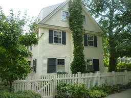
- 48 Sparks St (parcel map) (google map)
- Single family home
- 2049 square feet, 2855 sqft lot. (0.7 FAR)
- Zone: A-2
- Height: ~31.3 feet
- Built 1930
- Last Sold 8/1/2003 (865000)
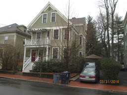
- 216 Upland Rd (parcel map) (google map)
- Two-family home
- 3088 square feet, 5057 sqft lot. (0.6 FAR)
- Zone: C-1
- Height: ~37.3 feet
- Built 1903
- Last Sold 10/21/2013 (1541216)
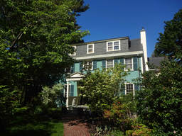
- 14 Wyman Rd (parcel map) (google map)
- Single family home
- 2920 square feet, 8351 sqft lot. (0.3 FAR)
- Zone: A-2
- Height: ~43.2 feet
- Built 1929
- Last Sold 6/1/1988 (774000)
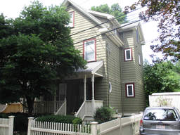
- 19 Vassal Ln (parcel map) (google map)
- Single family home
- 1680 square feet, 3852 sqft lot. (0.4 FAR)
- Zone: B
- Height: ~33.1 feet
- Built 1890
- Last Sold 8/14/2002 (1110000)
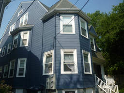
- 4 Fayette Pk (parcel map) (google map)
- Two-family home
- 3025 square feet, 2997 sqft lot. (1.0 FAR)
- Zone: C-1
- Height: ~40.1 feet
- Built 1903
- Last Sold 8/31/2011 (730000)
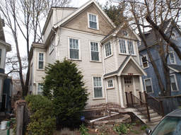
- 65 Prentiss St (parcel map) (google map)
- Single family home
- 2033 square feet, 2055 sqft lot. (1.0 FAR)
- Zone: C-1
- Height: ~33.0 feet
- Built 1886
- Last Sold 5/31/2013 (1100000)
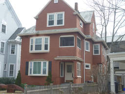
- 54 Wendell St (parcel map) (google map)
- Multi-family home
- 3297 square feet, 3700 sqft lot. (0.9 FAR)
- Zone: C-1
- Height: ~37.0 feet
- Built 1911
- Last Sold 10/8/2013 (1250000)
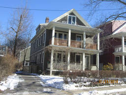
- 127 Garden St (parcel map) (google map)
- Two-family home
- 2520 square feet, 5025 sqft lot. (0.5 FAR)
- Zone: C-1
- Height: ~32.5 feet
- Built 1925
- Last Sold 6/22/1984 (180000)
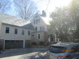
- 10 Garden Ter (parcel map) (google map)
- Single family home
- 4107 square feet, 8667 sqft lot. (0.5 FAR)
- Zone: A-2
- Height: ~36.9 feet
- Built 1913
- Last Sold 2/11/2016 (4000000)
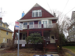
- 592 Huron Ave (parcel map) (google map)
- Two-family home
- 4008 square feet, 6686 sqft lot. (0.6 FAR)
- Zone: B
- Height: ~39.8 feet
- Built 1908
- Last Sold 11/4/2015 (1399000)
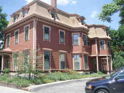
- 323 Broadway (parcel map) (google map)
- Office space
- 5827 square feet, 7957 sqft lot. (0.7 FAR)
- Zone: O-1
- Height: ~41.1 feet
- Built 1900
- Last Sold 7/2/1996 (620000)
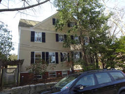
- 158 Brattle St (parcel map) (google map)
- Single family home
- 4932 square feet, 12360 sqft lot. (0.4 FAR)
- Zone: A-1
- Height: ~39.5 feet
- Built 1880
- Last Sold 2/1/2016 (2134954)
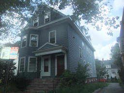
- 13 Wendell St (parcel map) (google map)
- Apartment building
- 3969 square feet, 4624 sqft lot. (0.9 FAR)
- Zone: C-1
- Height: ~38.7 feet
- Built 1920
- Last Sold 9/16/2015 (1800000)
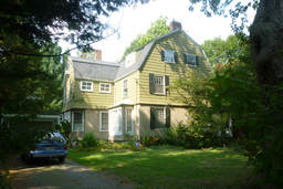
- 9 Channing St (parcel map) (google map)
- Single family home
- 6283 square feet, 11642 sqft lot. (0.5 FAR)
- Zone: A-1
- Height: ~36.5 feet
- Built 1889
- Last Sold 3/1/1979 (178000)
- 3 Franklin Pl (parcel map) (google map)
- Multi-family residence
- 2108 square feet, 5389 sqft lot. (0.4 FAR)
- Zone: C-1
- Height: ~30.9 feet
- Built 1900
- Last Sold 11/14/2013 (625810)
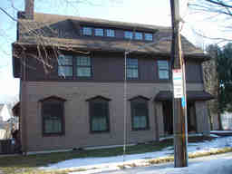
- 12 Traill St (parcel map) (google map)
- Single family home
- 4012 square feet, 10480 sqft lot. (0.4 FAR)
- Zone: A-1
- Height: ~35.7 feet
- Built 2009
- Last Sold 6/12/2008 (1660000)
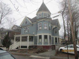
- 31 Gray St (parcel map) (google map)
- Single family home
- 4410 square feet, 5624 sqft lot. (0.8 FAR)
- Zone: B
- Height: ~41.2 feet
- Built 1893
- Last Sold 6/16/2014 (2725000)
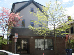
- 234 Broadway (parcel map) (google map)
- Multi-use commercial
- 4833 square feet, 4242 sqft lot. (1.1 FAR)
- Zone: C-1
- Height: ~37.4 feet
- Built 1852
- Last Sold 12/28/2016 (3100000)
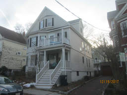
- 192 Larch Rd (parcel map) (google map)
- Two-family home
- 3062 square feet, 4359 sqft lot. (0.7 FAR)
- Zone: B
- Height: ~37.1 feet
- Built 1911
- Last Sold 12/3/2003 (805000)
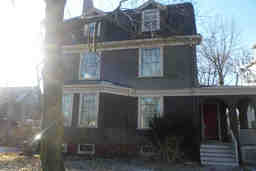
- 44 Kirkland St (parcel map) (google map)
- Single family home
- 3258 square feet, 5913 sqft lot. (0.6 FAR)
- Zone: B
- Height: ~40.4 feet
- Built 1902
- Last Sold 10/15/1982 (160000)
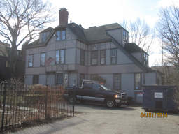
- 92 Brattle St (parcel map) (google map)
- Single family home+apartment
- 5882 square feet, 15540 sqft lot. (0.4 FAR)
- Zone: A-2
- Height: ~39.4 feet
- Built 1882
- Last Sold 10/21/2013 (5580000)
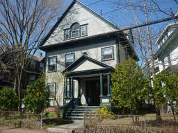
- 47 Irving St (parcel map) (google map)
- Apartment building
- 4879 square feet, 5758 sqft lot. (0.8 FAR)
- Zone: B
- Height: ~44.0 feet
- Built 1920
- Last Sold 6/26/1985 (75000)
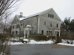
- 12 Lakeview Ave (parcel map) (google map)
- Single family home
- 9341 square feet, 30360 sqft lot. (0.3 FAR)
- Zone: A-1
- Height: ~37.2 feet
- Built 1847
- Last Sold 10/24/2003 (5200000)
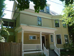
- 2 Exeter Pk (parcel map) (google map)
- Two-family home
- 2500 square feet, 2392 sqft lot. (1.0 FAR)
- Zone: B
- Height: ~37.1 feet
- Built 1916
- Last Sold 6/30/1971 (47500)
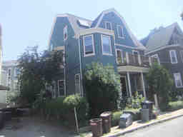
- 2 Highland Pk (parcel map) (google map)
- Two-family home
- 3741 square feet, 3430 sqft lot. (1.1 FAR)
- Zone: C-1
- Height: ~41.9 feet
- Built 1903
- Last Sold 2/4/1988 (165000)
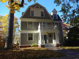
- 19 Francis Ave (parcel map) (google map)
- Single family home+apartment
- 6073 square feet, 10896 sqft lot. (0.6 FAR)
- Zone: A-2
- Height: ~39.5 feet
- Built 1889
- Last Sold 8/11/1993 (940000)
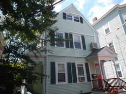
- 25 Myrtle Ave (parcel map) (google map)
- Two-family home
- 2316 square feet, 2705 sqft lot. (0.9 FAR)
- Zone: C-1
- Height: ~34.1 feet
- Built 1894
- Last Sold 9/6/1983 (108000)
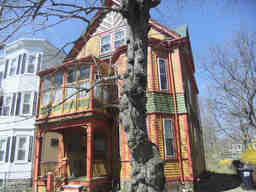
- 41 Norris St (parcel map) (google map)
- Two-family home
- 2688 square feet, 3463 sqft lot. (0.8 FAR)
- Zone: B
- Height: ~37.4 feet
- Built 1893
- Last Sold 2/28/1977 (32000)
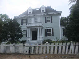
- 2 Scott St (parcel map) (google map)
- Single family home
- 4939 square feet, 12794 sqft lot. (0.4 FAR)
- Zone: A-2
- Height: ~35.7 feet
- Built 1897
- Last Sold 7/23/2007 (2775000)
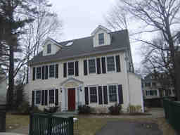
- 5 Wyman Rd (parcel map) (google map)
- Single family home
- 2722 square feet, 7085 sqft lot. (0.4 FAR)
- Zone: A-2
- Height: ~30.8 feet
- Built 1929
- Last Sold 8/1/2012 (1820000)
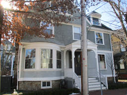
- 12 Martin St (parcel map) (google map)
- Single family home
- 3560 square feet, 6504 sqft lot. (0.5 FAR)
- Zone: BA-2
- Height: ~38.6 feet
- Built 1900
- Last Sold 10/29/2013 (1700119)
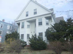
- 74 Oxford St (parcel map) (google map)
- Large apartment building
- 5584 square feet, 8596 sqft lot. (0.6 FAR)
- Zone: C-1
- Height: ~39.9 feet
- Built 1920
- Last Sold 12/15/2016 (3300000)
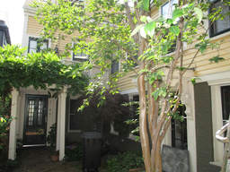
- 86R Fifth St (parcel map) (google map)
- Single family home
- 1462 square feet, 1102 sqft lot. (1.3 FAR)
- Zone: C-1
- Height: ~29.4 feet
- Built 1854
- Last Sold 10/12/2005 (595000)
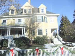
- 55 Brewster St (parcel map) (google map)
- Single family home
- 3457 square feet, 4503 sqft lot. (0.8 FAR)
- Zone: A-1
- Height: ~42.9 feet
- Built 1897
- Last Sold 7/15/1986 (605000)
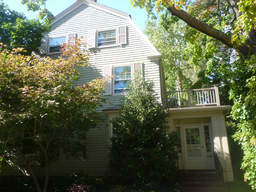
- 2 Berkeley Pl (parcel map) (google map)
- Single family home
- 4097 square feet, 5651 sqft lot. (0.7 FAR)
- Zone: A-2
- Height: ~37.2 feet
- Built 1892
- Last Sold 6/30/1995 (1100000)
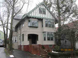
- 34 Royal Ave (parcel map) (google map)
- Two-family home
- 3966 square feet, 4350 sqft lot. (0.9 FAR)
- Zone: B
- Height: ~37.0 feet
- Built 1911
- Last Sold 9/16/2011 (1068000)
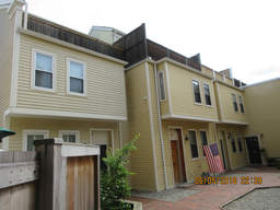
- 112B Inman St (parcel map) (google map)
- Single family home
- 1401 square feet, 1039 sqft lot. (1.3 FAR)
- Zone: C-1
- Height: ~35.2 feet
- Built 1983
- Last Sold 6/10/1996 (296000)
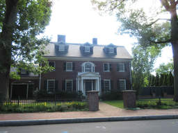
- 35 Lakeview Ave (parcel map) (google map)
- Single family home+apartment
- 5956 square feet, 13771 sqft lot. (0.4 FAR)
- Zone: A-1
- Height: ~32.9 feet
- Built 1916
- Last Sold 11/23/2004 (2265000)
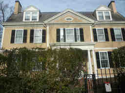
- 183 Brattle St (parcel map) (google map)
- Single family home
- 5191 square feet, 15645 sqft lot. (0.3 FAR)
- Zone: A-1
- Height: ~39.7 feet
- Built 1893
- Last Sold 7/10/1985 (787000)
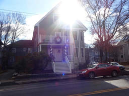
- 270 Huron Ave (parcel map) (google map)
- Two-family home
- 3497 square feet, 4183 sqft lot. (0.8 FAR)
- Zone: B
- Height: ~37.8 feet
- Built 1930
- Last Sold 5/17/1990 (290000)
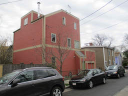
- 30 Bay St (parcel map) (google map)
- Single family home
- 1871 square feet, 1736 sqft lot. (1.1 FAR)
- Zone: C-1
- Height: ~30.4 feet
- Built 1902
- Last Sold 7/19/2016 (1208000)
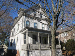
- 11 Royal Ave (parcel map) (google map)
- Single family home
- 2605 square feet, 4654 sqft lot. (0.6 FAR)
- Zone: B
- Height: ~38.9 feet
- Built 1890
- Last Sold 6/8/2015 (1715000)
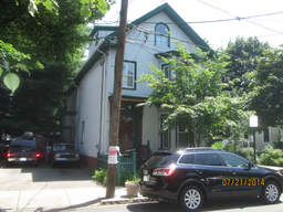
- 32 Tremont St (parcel map) (google map)
- Two-family home
- 2334 square feet, 4047 sqft lot. (0.6 FAR)
- Zone: C-1
- Height: ~32.3 feet
- Built 1873
- Last Sold 10/16/2000 (460000)
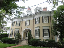
- 3-7 Channing Pl (parcel map) (google map)
- Single family home+apartment
- 11000 square feet, 16811 sqft lot. (0.7 FAR)
- Zone: A-1
- Height: ~42.0 feet
- Built 1894
- Last Sold 8/19/2005 (5900000)
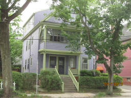
- 446 Huron Ave (parcel map) (google map)
- Two-family home
- 2747 square feet, 3431 sqft lot. (0.8 FAR)
- Zone: B
- Height: ~38.1 feet
- Built 1916
- Last Sold 6/16/1994 (365000)
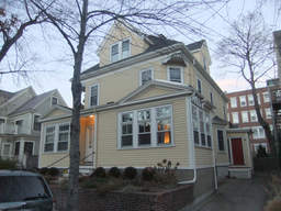
- 36 Gray St (parcel map) (google map)
- Single family home
- 3437 square feet, 4959 sqft lot. (0.7 FAR)
- Zone: B
- Height: ~38.6 feet
- Built 1894
- Last Sold 4/18/2007 (1740000)
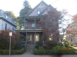
- 6 Day St (parcel map) (google map)
- Two-family home
- 3744 square feet, 5118 sqft lot. (0.7 FAR)
- Zone: B
- Height: ~38.3 feet
- Built 1895
- Last Sold 6/29/1982 (105000)
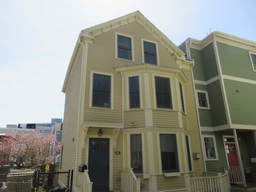
- 12A Watson St (parcel map) (google map)
- Single family home
- 1777 square feet, 2388 sqft lot. (0.7 FAR)
- Zone: C
- Height: ~31.9 feet
- Built 2005
- Last Sold 6/23/2017 (1455000)
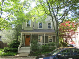
- 24 Russell St (parcel map) (google map)
- Single family home
- 2759 square feet, 5106 sqft lot. (0.5 FAR)
- Zone: B
- Height: ~34.5 feet
- Built 1891
- Last Sold 9/7/2006 (1440000)
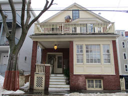
- 182 Pearl St (parcel map) (google map)
- Two-family home
- 2628 square feet, 2632 sqft lot. (1.0 FAR)
- Zone: C-1
- Height: ~35.0 feet
- Built 1854
- Last Sold 9/1/1993 (305000)
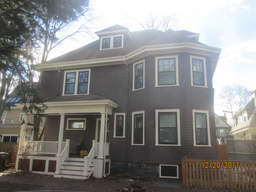
- 6 Exeter Pk (parcel map) (google map)
- Single family home
- 1841 square feet, 2379 sqft lot. (0.8 FAR)
- Zone: B
- Height: ~38.5 feet
- Built 1916
- Last Sold 5/26/2016 (1475000)
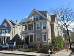
- 2 Carver St (parcel map) (google map)
- Two-family home
- 2712 square feet, 2247 sqft lot. (1.2 FAR)
- Zone: C-1
- Height: ~38.0 feet
- Built 1903
- Last Sold 10/11/2017 (1350000)
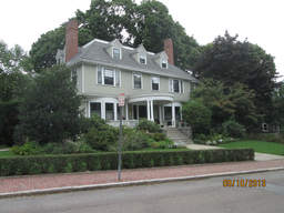
- 25 Arlington St (parcel map) (google map)
- Single family home+apartment
- 5986 square feet, 12808 sqft lot. (0.5 FAR)
- Zone: A-2
- Height: ~36.6 feet
- Built 1871
- Last Sold 3/2/1993 (825000)
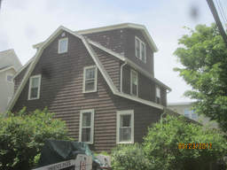
- 202 Walden St (parcel map) (google map)
- Single family home
- 1863 square feet, 2956 sqft lot. (0.6 FAR)
- Zone: C-1
- Height: ~32.7 feet
- Built 1929
- Last Sold 2/6/1985 (137000)
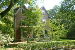
- 64 Sparks St (parcel map) (google map)
- Single family home
- 5298 square feet, 12269 sqft lot. (0.4 FAR)
- Zone: A-1
- Height: ~39.7 feet
- Built 1873
- Last Sold 6/19/1998 (1600000)
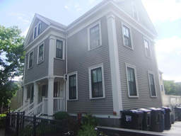
- 152 Prospect St (parcel map) (google map)
- Large apartment building
- 14729 square feet, 15236 sqft lot. (1.0 FAR)
- Zone: O-1
- Height: ~35.0 feet
- Built 1910
- Last Sold 6/4/2003 (3750000)
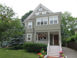
- 594 Huron Ave (parcel map) (google map)
- Single family home+apartment
- 3841 square feet, 8239 sqft lot. (0.5 FAR)
- Zone: B
- Height: ~39.3 feet
- Built 1910
- Last Sold 10/21/2011 (1190000)
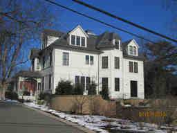
- 45 Highland St (parcel map) (google map)
- Single family home
- 5906 square feet, 24401 sqft lot. (0.2 FAR)
- Zone: A-1
- Height: ~41.6 feet
- Built 1872
- Last Sold 2/4/2010 (3380000)
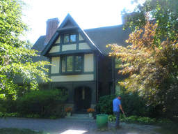
- 128 Brattle St (parcel map) (google map)
- Single family home
- 6330 square feet, 19405 sqft lot. (0.3 FAR)
- Zone: A-2
- Height: ~37.9 feet
- Built 1892
- Last Sold 8/8/1985 (824000)
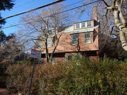
- 7 Scott St (parcel map) (google map)
- Two-family home
- 3518 square feet, 10109 sqft lot. (0.3 FAR)
- Zone: A-2
- Height: ~34.8 feet
- Built 1891
- Last Sold 6/16/1980 (180000)
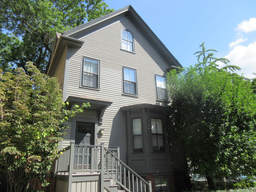
- 21 Grant St (parcel map) (google map)
- Multi-family home
- 3109 square feet, 2303 sqft lot. (1.3 FAR)
- Zone: C-1
- Height: ~38.7 feet
- Built 1886
- Last Sold 7/19/1991 (190000)
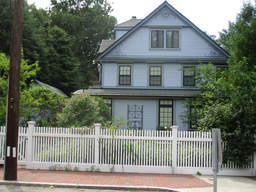
- 11 Lowell St (parcel map) (google map)
- Single family home
- 4418 square feet, 14160 sqft lot. (0.3 FAR)
- Zone: A-1
- Height: ~32.0 feet
- Built 1916
- Last Sold 6/2/1982 (395000)
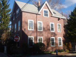
- 22 Hancock St (parcel map) (google map)
- Single family home
- 1848 square feet, 2823 sqft lot. (0.7 FAR)
- Zone: C-1
- Height: ~35.2 feet
- Built 1870
- Last Sold 2/20/2004 (825000)
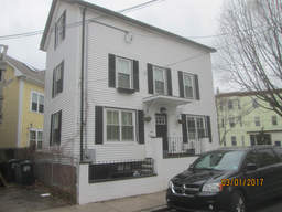
- 42 Bristol St (parcel map) (google map)
- Single family home
- 1336 square feet, 1253 sqft lot. (1.1 FAR)
- Zone: C-1
- Height: ~32.6 feet
- Built 1873
- Last Sold 8/16/2016 (825000)
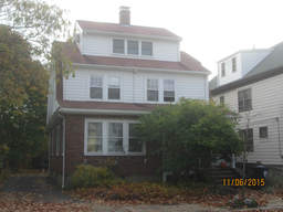
- 48 Rindge Ave (parcel map) (google map)
- Single family home
- 2110 square feet, 5312 sqft lot. (0.4 FAR)
- Zone: B
- Height: ~33.3 feet
- Built 1935
- Last Sold 12/30/1999 (396000)
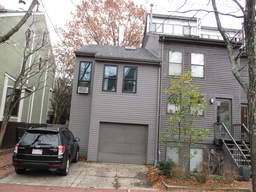
- 54B Hammond St (parcel map) (google map)
- Single family home
- 2126 square feet, 2830 sqft lot. (0.8 FAR)
- Zone: C-1
- Height: ~38.0 feet
- Built 1975
- Last Sold 2/1/2013 (700000)
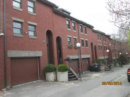
- 11-3 Dana St (parcel map) (google map)
- Single family home+apartment
- 1780 square feet, 1782 sqft lot. (1.0 FAR)
- Zone: C-1
- Height: ~53.6 feet
- Built 1980
- Last Sold 1/17/2013 (858000)
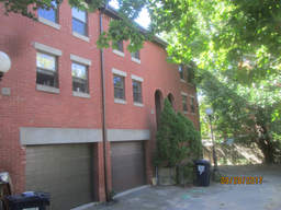
- 11-7 Dana St (parcel map) (google map)
- Single family home+apartment
- 1748 square feet, 1559 sqft lot. (1.1 FAR)
- Zone: C-1
- Height: ~53.6 feet
- Built 1979
- Last Sold 6/29/2012 (865000)
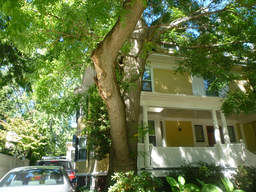
- 57 Brewster St (parcel map) (google map)
- Single family home
- 3428 square feet, 4597 sqft lot. (0.7 FAR)
- Zone: A-1
- Height: ~42.9 feet
- Built 1897
- Last Sold 6/25/2008 (2860000)
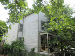
- 22 Locke St (parcel map) (google map)
- Single family home
- 2973 square feet, 3676 sqft lot. (0.8 FAR)
- Zone: B
- Height: ~36.5 feet
- Built 1891
- Last Sold 7/20/2001 (545000)
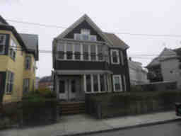
- 26 Haskell St (parcel map) (google map)
- Multi-family home
- 3115 square feet, 3533 sqft lot. (0.9 FAR)
- Zone: B
- Height: ~36.3 feet
- Built 1893
- Last Sold 6/24/2014 (500000)
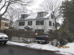
- 4 Lowell St (parcel map) (google map)
- Single family home
- 4070 square feet, 8218 sqft lot. (0.5 FAR)
- Zone: A-1
- Height: ~33.4 feet
- Built 1930
- Last Sold 6/7/2013 (3415000)
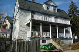
- 92 Oxford Ave (parcel map) (google map)
- Multi-family home
- 3525 square feet, 5246 sqft lot. (0.7 FAR)
- Zone: C-1
- Height: ~41.4 feet
- Built 1905
- Last Sold 9/1/2010 (975000)
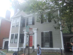
- 2 Garden St (parcel map) (google map)
- Rectory, Parsonage
- 3723 square feet, 5410 sqft lot. (0.7 FAR)
- Zone: C-2
- Height: ~37.9 feet
- Built 1880
- Last Sold 5/2/1980 (75000)
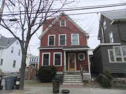
- 83 Dudley St (parcel map) (google map)
- Single family home
- 1892 square feet, 2237 sqft lot. (0.8 FAR)
- Zone: B
- Height: ~31.4 feet
- Built 1897
- Last Sold 3/19/1999 (257000)
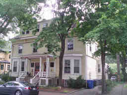
- 40 Lee St (parcel map) (google map)
- Large apartment building
- 7815 square feet, 8626 sqft lot. (0.9 FAR)
- Zone: C-1
- Height: ~42.0 feet
- Built 1996
- Last Sold 6/13/1991 (559906)
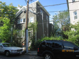
- 3 Jay St (parcel map) (google map)
- Multi-family home
- 2402 square feet, 1947 sqft lot. (1.2 FAR)
- Zone: BA-3
- Height: ~32.1 feet
- Built 1873
- Last Sold 4/18/1972 (14000)
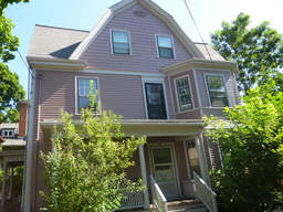
- 5 Ashton Pl (parcel map) (google map)
- Two-family home
- 4035 square feet, 3675 sqft lot. (1.1 FAR)
- Zone: B
- Height: ~42.0 feet
- Built 1903
- Last Sold 5/16/2002 (1250000)
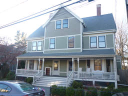
- 42 Cushing St (parcel map) (google map)
- Two-family home
- 4004 square feet, 12273 sqft lot. (0.3 FAR)
- Zone: B
- Height: ~39.3 feet
- Built 1889
- Last Sold 12/17/1999 (600000)
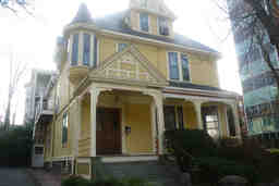
- 12 Lee St (parcel map) (google map)
- Single family home+apartment
- 4512 square feet, 5859 sqft lot. (0.8 FAR)
- Zone: C-1
- Height: ~38.5 feet
- Built 1886
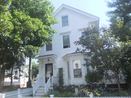
- 11 Perry St (parcel map) (google map)
- Two-family home
- 3023 square feet, 6597 sqft lot. (0.5 FAR)
- Zone: C
- Height: ~34.5 feet
- Built 1873
- Last Sold 6/12/1995 (285000)
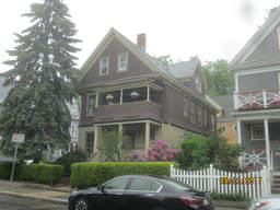
- 24 Walden St (parcel map) (google map)
- Multi-family home
- 3561 square feet, 3415 sqft lot. (1.0 FAR)
- Zone: B
- Height: ~38.4 feet
- Built 1894
- Last Sold 8/5/1982 (87000)
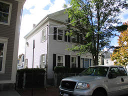
- 114 Spring St (parcel map) (google map)
- Two-family home
- 2566 square feet, 4466 sqft lot. (0.6 FAR)
- Zone: C-1
- Height: ~31.6 feet
- Built 1854
- Last Sold 7/6/1978 (40000)
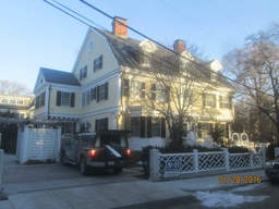
- 1 Highland St (parcel map) (google map)
- Single family home
- 6540 square feet, 18506 sqft lot. (0.4 FAR)
- Zone: A-1
- Height: ~43.9 feet
- Built 1894
- Last Sold 9/30/2005 (5750000)
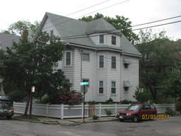
- 460 Huron Ave (parcel map) (google map)
- Two-family home
- 2772 square feet, 3493 sqft lot. (0.8 FAR)
- Zone: B
- Height: ~37.7 feet
- Built 1916
- Last Sold 2/16/2002 (879000)
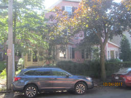
- 34 Shepard St (parcel map) (google map)
- Single family home
- 2064 square feet, 6706 sqft lot. (0.3 FAR)
- Zone: B
- Height: ~53.6 feet
- Built 1885
- Last Sold 9/18/2017 (800000)
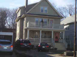
- 306 Huron Ave (parcel map) (google map)
- Two-family home
- 3341 square feet, 7552 sqft lot. (0.4 FAR)
- Zone: B
- Height: ~38.2 feet
- Built 1930
- Last Sold 8/30/2002 (475000)
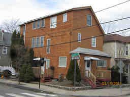
- 37 Sherman St (parcel map) (google map)
- Two-family home
- 2905 square feet, 2957 sqft lot. (1.0 FAR)
- Zone: C-1
- Height: ~32.7 feet
- Built 1891
- Last Sold 11/1/2012 (899000)
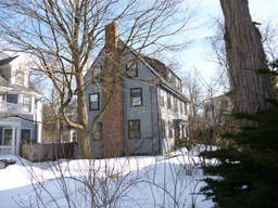
- 8 Francis Ave (parcel map) (google map)
- Single family home
- 2160 square feet, 6023 sqft lot. (0.4 FAR)
- Zone: A-2
- Height: ~35.6 feet
- Built 1941
- Last Sold 7/5/1977 (88000)
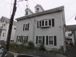
- 46 Tremont St (parcel map) (google map)
- Multi-family home
- 3528 square feet, 3412 sqft lot. (1.0 FAR)
- Zone: C-1
- Height: ~34.5 feet
- Built 1854
- Last Sold 5/3/2002 (685000)
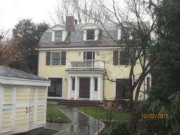
- 8 Kennedy Rd (parcel map) (google map)
- Single family home
- 3709 square feet, 5738 sqft lot. (0.6 FAR)
- Zone: A-1
- Height: ~34.8 feet
- Built 1894
- Last Sold 11/25/2013 (2625000)
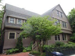
- 3 Berkeley Pl (parcel map) (google map)
- Single family home
- 4800 square feet, 7555 sqft lot. (0.6 FAR)
- Zone: A-2
- Height: ~39.8 feet
- Built 1892
- Last Sold 5/15/2008 (3650000)
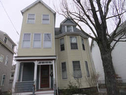
- 24 Locke St (parcel map) (google map)
- Single family home
- 2248 square feet, 3672 sqft lot. (0.6 FAR)
- Zone: B
- Height: ~35.4 feet
- Built 1896
- Last Sold 4/30/2013 (985000)
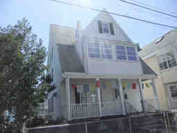
- 52 Norris St (parcel map) (google map)
- Two-family home
- 2462 square feet, 2265 sqft lot. (1.1 FAR)
- Zone: B
- Height: ~39.3 feet
- Built 1897
- Last Sold 3/1/2002 (510000)
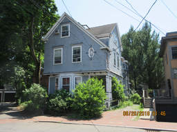
- 26 Forest St (parcel map) (google map)
- Single family home
- 2601 square feet, 3369 sqft lot. (0.8 FAR)
- Zone: C-1
- Height: ~34.8 feet
- Built 1902
- Last Sold 7/20/2007 (1195000)
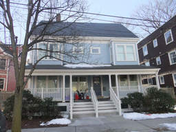
- 74 Hammond St (parcel map) (google map)
- Single family home
- 3680 square feet, 9096 sqft lot. (0.4 FAR)
- Zone: C-1
- Height: ~41.4 feet
- Built 1910
- Last Sold 8/3/2005 (1150000)
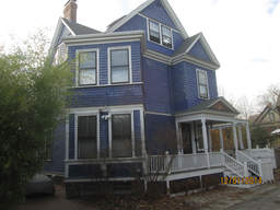
- 9 Russell St (parcel map) (google map)
- Single family home
- 2648 square feet, 4815 sqft lot. (0.5 FAR)
- Zone: B
- Height: ~37.2 feet
- Built 1898
- Last Sold 7/26/2010 (1166500)
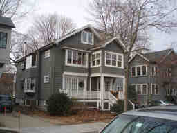
- 140 Larch Rd (parcel map) (google map)
- Two-family home
- 3234 square feet, 6033 sqft lot. (0.5 FAR)
- Zone: B
- Height: ~33.0 feet
- Built 1926
- Last Sold 5/30/1980 (150000)
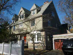
- 155 Brattle St (parcel map) (google map)
- Single family home
- 4407 square feet, 10080 sqft lot. (0.4 FAR)
- Zone: A-1
- Height: ~42.2 feet
- Built 1889
- Last Sold 8/3/1992 (1350000)
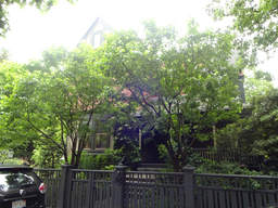
- 167 Brattle St (parcel map) (google map)
- Single family home
- 6367 square feet, 16687 sqft lot. (0.4 FAR)
- Zone: A-1
- Height: ~37.9 feet
- Built 1883
- Last Sold 5/9/2003 (4200000)
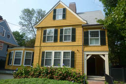
- 15 Traill St (parcel map) (google map)
- Single family home
- 4544 square feet, 7433 sqft lot. (0.6 FAR)
- Zone: A-1
- Height: ~39.7 feet
- Built 1898
- Last Sold 10/29/2007 (2250000)
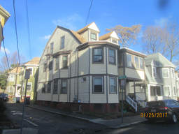
- 7 Fayette St (parcel map) (google map)
- Two-family home
- 3010 square feet, 2097 sqft lot. (1.4 FAR)
- Zone: C-1
- Height: ~37.8 feet
- Built 1896
- Last Sold 7/31/2015 (1300000)
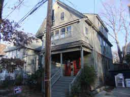
- 26 Gurney St (parcel map) (google map)
- Two-family home
- 2780 square feet, 3744 sqft lot. (0.7 FAR)
- Zone: B
- Height: ~36.6 feet
- Built 1916
- Last Sold 8/3/1985 (279000)
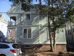
- 4 Humboldt St (parcel map) (google map)
- Multi-family home
- 4363 square feet, 4240 sqft lot. (1.0 FAR)
- Zone: C-2
- Height: ~43.5 feet
- Built 1905
- Last Sold 8/24/2015 (1550000)
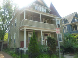
- 5 Leonard Ave (parcel map) (google map)
- Two-family home
- 3071 square feet, 3725 sqft lot. (0.8 FAR)
- Zone: C-1
- Height: ~41.5 feet
- Built 1903
- Last Sold 5/19/2005 (1027000)
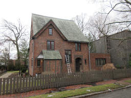
- 18 Gray Gdns E (parcel map) (google map)
- Single family home
- 3422 square feet, 16989 sqft lot. (0.2 FAR)
- Zone: A-2
- Height: ~38.3 feet
- Built 1902
- Last Sold 12/2/2004 (2625000)
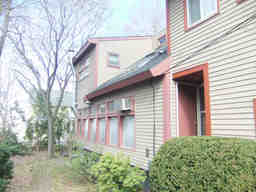
- 108 Clay St (parcel map) (google map)
- Two-family home
- 1236 square feet, 3146 sqft lot. (0.4 FAR)
- Zone: B
- Height: ~28.7 feet
- Built 1981
- Last Sold 8/8/1984 (141000)
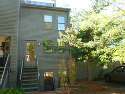
- 54 Hammond St (parcel map) (google map)
- Single family home
- 2004 square feet, 2654 sqft lot. (0.8 FAR)
- Zone: C-1
- Height: ~38.0 feet
- Built 1975
- Last Sold 8/23/2002 (727500)
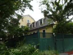
- 25 Reservoir St (parcel map) (google map)
- Single family home+apartment
- 7279 square feet, 27903 sqft lot. (0.3 FAR)
- Zone: A-1
- Height: ~37.4 feet
- Built 1872
- Last Sold 12/2/2003 (5025000)
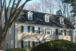
- 138 Irving St (parcel map) (google map)
- Single family home+apartment
- 4604 square feet, 15071 sqft lot. (0.3 FAR)
- Zone: A-2
- Height: ~34.5 feet
- Built 1912
- Last Sold 11/1/1978 (122500)
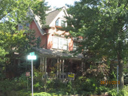
- 115 Upland Rd (parcel map) (google map)
- Multi-family home
- 4516 square feet, 7990 sqft lot. (0.6 FAR)
- Zone: B
- Height: ~44.7 feet
- Built 1890
- Last Sold 10/31/1994 (468000)
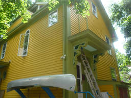
- 24R Antrim St (parcel map) (google map)
- Single family home
- 1617 square feet, 1405 sqft lot. (1.2 FAR)
- Zone: C-1
- Height: ~35.7 feet
- Built 1860
- Last Sold 2/3/1984 (59900)
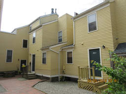
- 110A Inman St (parcel map) (google map)
- Single family home
- 1259 square feet, 1446 sqft lot. (0.9 FAR)
- Zone: C-1
- Height: ~35.2 feet
- Built 1984
- Last Sold 12/5/2017 (1020000)
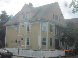
- 46A Dana St (parcel map) (google map)
- Multi-family home
- 3993 square feet, 3930 sqft lot. (1.0 FAR)
- Zone: C-1
- Height: ~42.9 feet
- Built 1901
- Last Sold 9/20/1978 (91000)
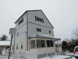
- 210 Harvey St (parcel map) (google map)
- Multi-family home
- 2651 square feet, 5534 sqft lot. (0.5 FAR)
- Zone: B
- Height: ~35.8 feet
- Built 1892
- Last Sold 9/15/2004 (585000)
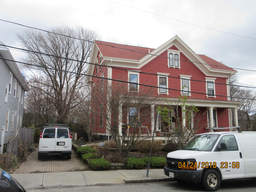
- 48 Haskell St (parcel map) (google map)
- Single family home
- 2219 square feet, 5306 sqft lot. (0.4 FAR)
- Zone: B
- Height: ~36.8 feet
- Built 1858
- Last Sold 7/28/2017 (1750000)
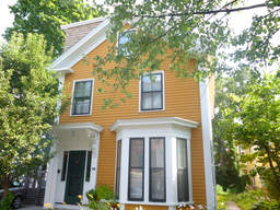
- 5 Pleasant Pl (parcel map) (google map)
- Two-family home
- 2653 square feet, 3968 sqft lot. (0.7 FAR)
- Zone: C
- Height: ~30.3 feet
- Built 1873
- Last Sold 8/17/2004 (885000)
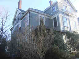
- 12 Bigelow St (parcel map) (google map)
- Single family home
- 3237 square feet, 3104 sqft lot. (1.0 FAR)
- Zone: C-1
- Height: ~39.6 feet
- Built 1883
- Last Sold 6/18/2012 (1300000)
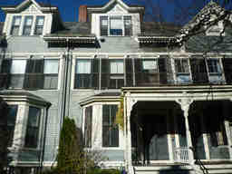
- 33 Brewster St (parcel map) (google map)
- Single family home
- 2507 square feet, 2557 sqft lot. (1.0 FAR)
- Zone: A-1
- Height: ~44.2 feet
- Built 1884
- Last Sold 6/29/1999 (1006250)
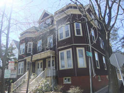
- 222 Concord Ave (parcel map) (google map)
- Apartment building
- 6124 square feet, 5762 sqft lot. (1.1 FAR)
- Zone: BA-1
- Height: ~43.6 feet
- Built 1910
- Last Sold 12/20/2013 (2400000)
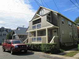
- 23 Verdun St (parcel map) (google map)
- Two-family home
- 2622 square feet, 3265 sqft lot. (0.8 FAR)
- Zone: B
- Height: ~32.0 feet
- Built 1927
- Last Sold 6/11/2010 (710000)
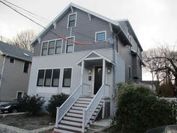
- 152 Larch Rd (parcel map) (google map)
- Single family home
- 3286 square feet, 5912 sqft lot. (0.6 FAR)
- Zone: B
- Height: ~33.6 feet
- Built 1924
- Last Sold 1/14/2015 (1320000)
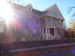
- 4 Bryant St (parcel map) (google map)
- Single family home
- 4482 square feet, 11914 sqft lot. (0.4 FAR)
- Zone: A-2
- Height: ~40.1 feet
- Built 1904
- Last Sold 8/1/2008 (2500050)
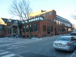
- 78 Charles St (parcel map) (google map)
- Office space
- 57608 square feet, 39155 sqft lot. (1.5 FAR)
- Zone: IA-1
- Height: ~62.3 feet
- Built 1911
- Last Sold 4/10/2006 (13175000)
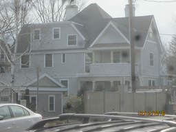
- 2 Bond St (parcel map) (google map)
- Single family home
- 4531 square feet, 5630 sqft lot. (0.8 FAR)
- Zone: B
- Height: ~41.4 feet
- Built 1890
- Last Sold 6/29/2011 (1235000)
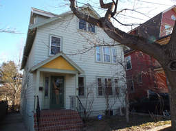
- 15-17 Field St (parcel map) (google map)
- Single family home
- 3025 square feet, 5182 sqft lot. (0.6 FAR)
- Zone: B
- Height: ~31.5 feet
- Built 1928
- Last Sold 8/29/2013 (1280000)
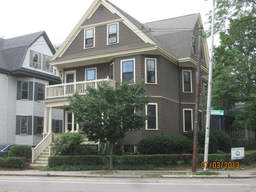
- 328 Huron Ave (parcel map) (google map)
- Two-family home
- 2950 square feet, 3208 sqft lot. (0.9 FAR)
- Zone: B
- Height: ~37.9 feet
- Built 1916
- Last Sold 12/4/2014 (850000)
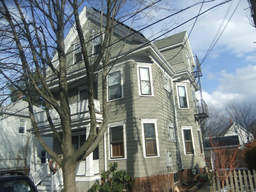
- 7 Norman St (parcel map) (google map)
- Two-family home
- 2701 square feet, 2578 sqft lot. (1.0 FAR)
- Zone: B
- Height: ~37.5 feet
- Built 1904
- Last Sold 6/26/1979 (60000)
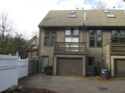
- 9A Russell St (parcel map) (google map)
- Single family home
- 1868 square feet, 3200 sqft lot. (0.6 FAR)
- Zone: B
- Height: ~38.8 feet
- Built 1984
- Last Sold 9/22/2005 (800000)
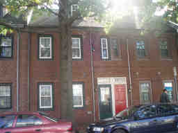
- 208 Third St (parcel map) (google map)
- Single family home
- 1144 square feet, 1006 sqft lot. (1.1 FAR)
- Zone: C-1
- Height: ~29.8 feet
- Built 1826
- Last Sold 6/1/1989 (187000)
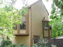
- 8 Cogswell Ct (parcel map) (google map)
- Single family home
- 1225 square feet, 3366 sqft lot. (0.4 FAR)
- Zone: B
- Height: ~29.6 feet
- Built 1985
- Last Sold 7/16/2004 (413000)
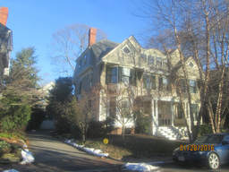
- 19 Brewster St (parcel map) (google map)
- Single family home
- 2824 square feet, 4204 sqft lot. (0.7 FAR)
- Zone: A-1
- Height: ~40.9 feet
- Built 1885
- Last Sold 8/22/2013 (374000)
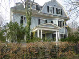
- 25 Appleton St (parcel map) (google map)
- Single family home
- 3786 square feet, 7164 sqft lot. (0.5 FAR)
- Zone: A-1
- Height: ~39.2 feet
- Built 1903
- Last Sold 7/3/1985 (390000)
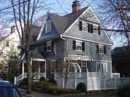
- 4 Riedesel Ave (parcel map) (google map)
- Single family home
- 3808 square feet, 7004 sqft lot. (0.5 FAR)
- Zone: A-1
- Height: ~44.0 feet
- Built 1887
- Last Sold 9/12/1991 (875000)
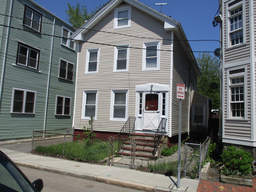
- 13 Gardner Rd (parcel map) (google map)
- Single family home
- 2222 square feet, 3681 sqft lot. (0.6 FAR)
- Zone: C-1
- Height: ~35.6 feet
- Built 1873
- Last Sold 11/3/2017 (1300000)
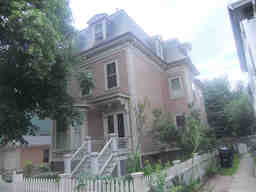
- 113 Inman St (parcel map) (google map)
- Two-family home
- 3217 square feet, 5586 sqft lot. (0.6 FAR)
- Zone: C-1
- Height: ~39.2 feet
- Built 1905
- Last Sold 1/6/1981 (83000)
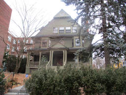
- 11 Linnaean St (parcel map) (google map)
- Single family home
- 4713 square feet, 8272 sqft lot. (0.6 FAR)
- Zone: B
- Height: ~57.6 feet
- Built 1897
- Last Sold 10/27/2006 (1748000)
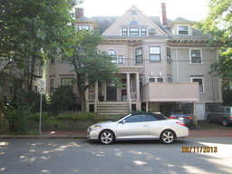
- 192 Upland Rd (parcel map) (google map)
- Two-family home
- 2925 square feet, 2628 sqft lot. (1.1 FAR)
- Zone: B
- Height: ~41.1 feet
- Built 1890
- Last Sold 7/14/1986 (560000)
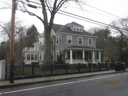
- 75 Sparks St (parcel map) (google map)
- Single family home
- 3981 square feet, 15322 sqft lot. (0.3 FAR)
- Zone: A-1
- Height: ~39.3 feet
- Built 1892
- Last Sold 11/29/2011 (2500000)
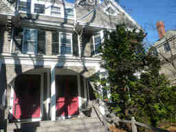
- 23 Brewster St (parcel map) (google map)
- Single family home
- 2899 square feet, 4469 sqft lot. (0.6 FAR)
- Zone: A-1
- Height: ~40.3 feet
- Built 1885
- Last Sold 12/31/1986 (475000)
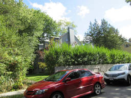
- 10 Lowell St (parcel map) (google map)
- Single family home
- 3718 square feet, 9154 sqft lot. (0.4 FAR)
- Zone: A-1
- Height: ~34.1 feet
- Built 1913
- Last Sold 10/15/2008 (2240000)
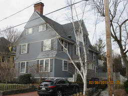
- 45 Brewster St (parcel map) (google map)
- Single family home
- 4632 square feet, 8488 sqft lot. (0.5 FAR)
- Zone: A-1
- Height: ~39.3 feet
- Built 1894
- Last Sold 11/16/2010 (3300000)
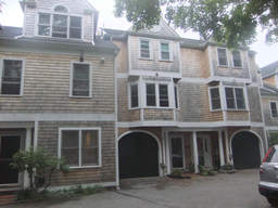
- 39C Bellis Cir (parcel map) (google map)
- Single family home
- 1622 square feet, 1621 sqft lot. (1.0 FAR)
- Zone: C-1A
- Height: ~38.6 feet
- Built 1988
- Last Sold 4/1/2004 (545000)
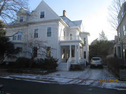
- 14 Hawthorn St (parcel map) (google map)
- Single family home
- 3308 square feet, 4150 sqft lot. (0.8 FAR)
- Zone: A-2
- Height: ~38.8 feet
- Built 1903
- Last Sold 10/13/2011 (2086000)
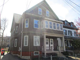
- 76 Orchard St (parcel map) (google map)
- Two-family home
- 2893 square feet, 5044 sqft lot. (0.6 FAR)
- Zone: B
- Height: ~37.3 feet
- Built 1903
- Last Sold 2/18/2015 (670000)
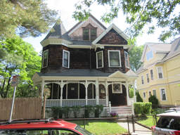
- 83 Orchard St (parcel map) (google map)
- Multi-family home
- 3283 square feet, 4543 sqft lot. (0.7 FAR)
- Zone: B
- Height: ~37.6 feet
- Built 1896
- Last Sold 8/26/1992 (320000)
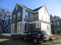
- 39 May St (parcel map) (google map)
- Single family home
- 2481 square feet, 5073 sqft lot. (0.5 FAR)
- Zone: B
- Height: ~29.3 feet
- Built 1887
- Last Sold 1/24/2014 (500000)
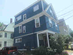
- 9 St Paul St (parcel map) (google map)
- Two-family home
- 2166 square feet, 2075 sqft lot. (1.0 FAR)
- Zone: C-1
- Height: ~37.7 feet
- Built 1903
- Last Sold 4/11/2008 (834000)
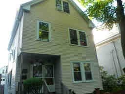
- 53 Fenno St (parcel map) (google map)
- Two-family home
- 1806 square feet, 2830 sqft lot. (0.6 FAR)
- Zone: C-1
- Height: ~32.5 feet
- Built 1903
- Last Sold 8/8/1996 (180000)
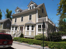
- 19 Willard St (parcel map) (google map)
- Single family home
- 2194 square feet, 2933 sqft lot. (0.7 FAR)
- Zone: A-2
- Height: ~35.0 feet
- Built 1873
- Last Sold 9/29/1997 (465000)
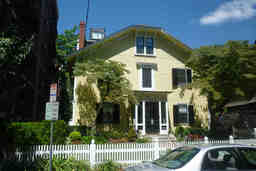
- 5 Lee St (parcel map) (google map)
- DORM-RS-HALL
- 5532 square feet, 6336 sqft lot. (0.9 FAR)
- Zone: C-1
- Height: ~37.4 feet
- Built 1896
- Last Sold 3/4/1996 (625000)
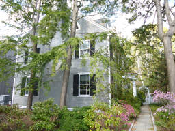
- 15 Raymond St (parcel map) (google map)
- Single family home
- 4172 square feet, 9891 sqft lot. (0.4 FAR)
- Zone: A-2
- Height: ~33.9 feet
- Built 1922
- Last Sold 11/21/2014 (2150000)
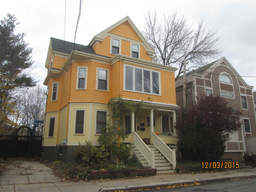
- 113 Walden St (parcel map) (google map)
- Two-family home
- 3039 square feet, 5696 sqft lot. (0.5 FAR)
- Zone: C-1
- Height: ~37.7 feet
- Built 1892
- Last Sold 11/22/1993 (335000)
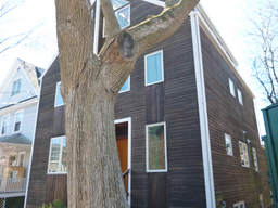
- 33 Bellis Cir (parcel map) (google map)
- Single family home
- 2686 square feet, 3066 sqft lot. (0.9 FAR)
- Zone: B
- Height: ~35.6 feet
- Built 1993
- Last Sold 7/8/1992 (59000)
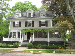
- 15 Larch Rd (parcel map) (google map)
- Single family home
- 3286 square feet, 6781 sqft lot. (0.5 FAR)
- Zone: A-1
- Height: ~35.9 feet
- Built 1903
- Last Sold 5/12/1999 (925000)
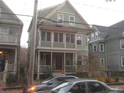
- 66 Orchard St (parcel map) (google map)
- Two-family home
- 3140 square feet, 3387 sqft lot. (0.9 FAR)
- Zone: B
- Height: ~37.6 feet
- Built 1903
- Last Sold 11/15/1999 (560000)
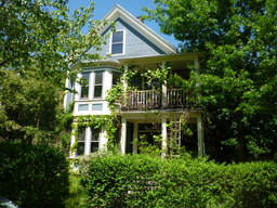
- 93 Hammond St (parcel map) (google map)
- Single family home
- 3182 square feet, 6527 sqft lot. (0.5 FAR)
- Zone: C-1
- Height: ~36.2 feet
- Built 1894
- Last Sold 11/30/1990 (310000)
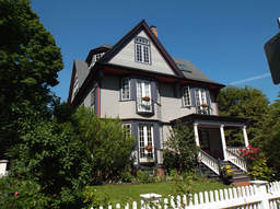
- 15 Lowell St (parcel map) (google map)
- Single family home
- 6295 square feet, 7871 sqft lot. (0.8 FAR)
- Zone: B
- Height: ~45.4 feet
- Built 1890
- Last Sold 10/8/1997 (1100000)
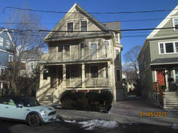
- 149 Larch Rd (parcel map) (google map)
- Single family home+apartment
- 3146 square feet, 6109 sqft lot. (0.5 FAR)
- Zone: B
- Height: ~39.0 feet
- Built 1912
- Last Sold 6/11/2007 (2050000)
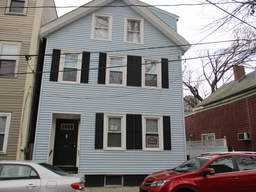
- 6 Eighth St (parcel map) (google map)
- Two-family home
- 2468 square feet, 1837 sqft lot. (1.3 FAR)
- Zone: C-1
- Height: ~32.9 feet
- Built 1873
- Last Sold 12/27/2011 (450000)
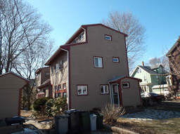
- 110 Clay St (parcel map) (google map)
- Single family home
- 1293 square feet, 2802 sqft lot. (0.5 FAR)
- Zone: B
- Height: ~28.7 feet
- Built 1981
- Last Sold 10/30/2013 (570000)
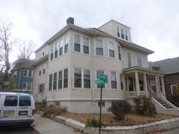
- 402 Broadway (parcel map) (google map)
- Multi-family home
- 4491 square feet, 5811 sqft lot. (0.8 FAR)
- Zone: C-1
- Height: ~35.1 feet
- Built 1920
- Last Sold 8/18/1987 (215000)
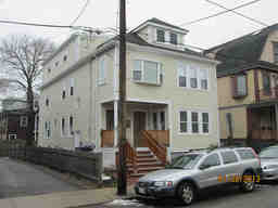
- 27 Copley St (parcel map) (google map)
- Multi-family home
- 3185 square feet, 4414 sqft lot. (0.7 FAR)
- Zone: B
- Height: ~32.0 feet
- Built 1928
- Last Sold 2/29/2012 (1307000)
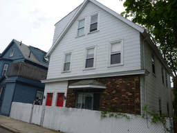
- 28 Harvey St (parcel map) (google map)
- Two-family home
- 2447 square feet, 1747 sqft lot. (1.4 FAR)
- Zone: B
- Height: ~33.7 feet
- Built 1898
- Last Sold 12/22/2015 (788000)
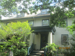
- 3 Walker St (parcel map) (google map)
- Single family home
- 2131 square feet, 3586 sqft lot. (0.6 FAR)
- Zone: B
- Height: ~38.7 feet
- Built 1902
- Last Sold 5/1/1996 (463990)
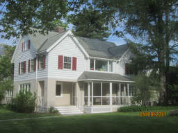
- 39 Meadow Way (parcel map) (google map)
- Single family home
- 3116 square feet, 16956 sqft lot. (0.2 FAR)
- Zone: A-2
- Height: ~31.6 feet
- Built 1916
- Last Sold 1/11/2008 (1750000)
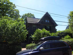
- 14 Elmwood Ave (parcel map) (google map)
- Single family home
- 3855 square feet, 8128 sqft lot. (0.5 FAR)
- Zone: A-1
- Height: ~38.3 feet
- Built 1895
- Last Sold 8/1/2006 (1895000)
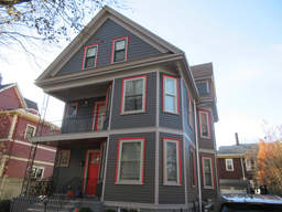
- 60 Orchard St (parcel map) (google map)
- Single family home
- 3771 square feet, 3667 sqft lot. (1.0 FAR)
- Zone: B
- Height: ~37.1 feet
- Built 1898
- Last Sold 7/26/2016 (1785000)
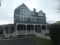
- 4 Mercer Cir (parcel map) (google map)
- Single family home+apartment
- 4705 square feet, 14448 sqft lot. (0.3 FAR)
- Zone: A-2
- Height: ~39.7 feet
- Built 1885
- Last Sold 1/8/2013 (3650000)
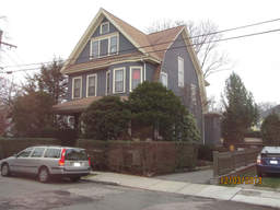
- 28 Huron Ave (parcel map) (google map)
- Single family home
- 2587 square feet, 4405 sqft lot. (0.6 FAR)
- Zone: A-2
- Height: ~38.5 feet
- Built 1916
- Last Sold 7/2/2013 (1597500)
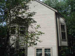
- 7 Cogswell Ct (parcel map) (google map)
- Single family home
- 1225 square feet, 2239 sqft lot. (0.5 FAR)
- Zone: B
- Height: ~29.6 feet
- Built 1985
- Last Sold 10/10/2014 (500000)
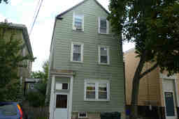
- 12 Fifth St (parcel map) (google map)
- Two-family home
- 2280 square feet, 1446 sqft lot. (1.6 FAR)
- Zone: C-1
- Height: ~44.2 feet
- Built 1902
- Last Sold 6/30/2000 (307500)
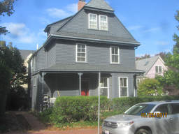
- 29 Dana St (parcel map) (google map)
- Two-family home
- 2387 square feet, 3211 sqft lot. (0.7 FAR)
- Zone: C-1
- Height: ~35.3 feet
- Built 1894
- Last Sold 6/23/2010 (1016000)
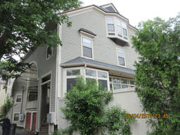
- 15A Roberts Rd (parcel map) (google map)
- Single family home
- 1858 square feet, 3092 sqft lot. (0.6 FAR)
- Zone: C-1
- Height: ~38.9 feet
- Built 1902
- Last Sold 4/15/2005 (815000)
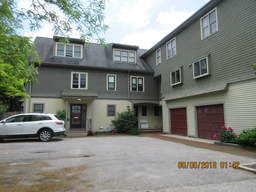
- 12 Eustis St (parcel map) (google map)
- Single family home
- 1715 square feet, 1855 sqft lot. (0.9 FAR)
- Zone: C-1
- Height: ~35.7 feet
- Built 1994
- Last Sold 6/1/1999 (505500)
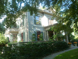
- 25 Craigie St (parcel map) (google map)
- Single family home
- 5577 square feet, 26792 sqft lot. (0.2 FAR)
- Zone: A-1
- Height: ~38.2 feet
- Built 1856
- Last Sold 10/12/2001 (6000000)
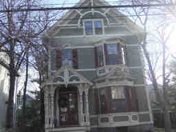
- 52 Shepard St (parcel map) (google map)
- Single family home
- 3516 square feet, 6246 sqft lot. (0.6 FAR)
- Zone: B
- Height: ~39.2 feet
- Built 1883
- Last Sold 8/1/1996 (850000)
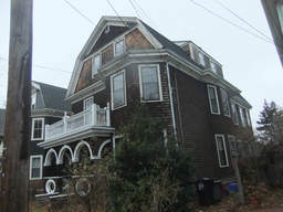
- 235 Upland Rd (parcel map) (google map)
- Two-family home
- 3739 square feet, 3471 sqft lot. (1.1 FAR)
- Zone: C-1
- Height: ~36.5 feet
- Built 1895
- Last Sold 1/7/1991 (200000)
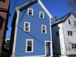
- 159 Fifth St (parcel map) (google map)
- Multi-family home
- 1916 square feet, 1150 sqft lot. (1.7 FAR)
- Zone: C-1
- Height: ~36.3 feet
- Built 1873
- Last Sold 5/11/2006 (496000)
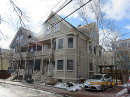
- 7 Traymore St (parcel map) (google map)
- Two-family home
- 2598 square feet, 2314 sqft lot. (1.1 FAR)
- Zone: C-1
- Height: ~38.7 feet
- Built 1903
- Last Sold 8/28/1997 (504000)
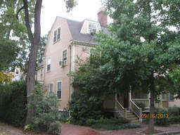
- 12 Walker St (parcel map) (google map)
- Single family home
- 2778 square feet, 2620 sqft lot. (1.1 FAR)
- Zone: B
- Height: ~32.8 feet
- Built 1900
- Last Sold 1/6/1995 (445000)
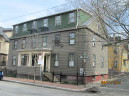
- 134 Hancock St (parcel map) (google map)
- Apartment building
- 3649 square feet, 4425 sqft lot. (0.8 FAR)
- Zone: C-1
- Height: ~29.5 feet
- Built 1854
- Last Sold 2/15/1977 (43500)
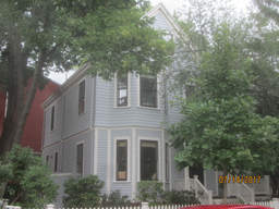
- 16 Howland St (parcel map) (google map)
- Single family home
- 2135 square feet, 2381 sqft lot. (0.9 FAR)
- Zone: C-1
- Height: ~33.8 feet
- Built 1894
- Last Sold 9/15/1999 (647500)
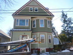
- 90 Park Ave (parcel map) (google map)
- Two-family home
- 3074 square feet, 3251 sqft lot. (0.9 FAR)
- Zone: B
- Height: ~37.4 feet
- Built 1909
- Last Sold 7/16/1975 (35000)
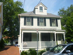
- 25 Willard St (parcel map) (google map)
- Single family home
- 3627 square feet, 7132 sqft lot. (0.5 FAR)
- Zone: C-1
- Height: ~33.4 feet
- Built 1894
- Last Sold 7/7/2006 (2565000)
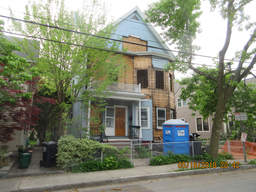
- 57 Reed St (parcel map) (google map)
- Multi-family home
- 2598 square feet, 5987 sqft lot. (0.4 FAR)
- Zone: B
- Height: ~39.3 feet
- Built 1897
- Last Sold 8/1/2017 (1200000)
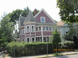
- 38 Rindge Ave (parcel map) (google map)
- Multi-family home
- 2611 square feet, 3606 sqft lot. (0.7 FAR)
- Zone: B
- Height: ~37.3 feet
- Built 1894
- Last Sold 1/24/1980 (80000)
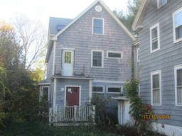
- 51 Cushing St (parcel map) (google map)
- Single family home
- 2004 square feet, 4782 sqft lot. (0.4 FAR)
- Zone:
- Height: ~30.6 feet
- Built 2000
- Last Sold 12/11/2000 (650000)
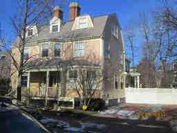
- 14 Walker St (parcel map) (google map)
- Single family home
- 2521 square feet, 2925 sqft lot. (0.9 FAR)
- Zone: B
- Height: ~32.8 feet
- Built 1900
- Last Sold 11/18/1994 (426300)
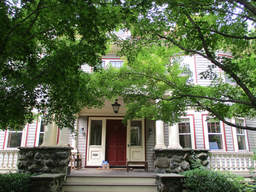
- 201 Huron Ave (parcel map) (google map)
- Single family home+apartment
- 5214 square feet, 14860 sqft lot. (0.4 FAR)
- Zone: B
- Height: ~34.3 feet
- Built 1901
- Last Sold 3/4/1994 (675000)
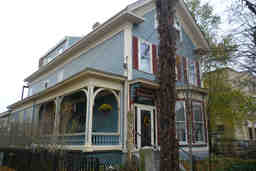
- 12 Tremont St (parcel map) (google map)
- Multi-family home
- 3267 square feet, 6178 sqft lot. (0.5 FAR)
- Zone: C-1
- Height: ~37.2 feet
- Built 1844
- Last Sold 5/1/1997 (220000)
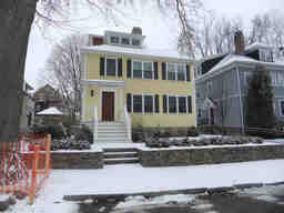
- 73 Grozier Rd (parcel map) (google map)
- Single family home
- 3352 square feet, 6126 sqft lot. (0.5 FAR)
- Zone: B
- Height: ~33.9 feet
- Built 1925
- Last Sold 3/2/2007 (1015000)
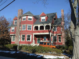
- 17 Highland St (parcel map) (google map)
- Single family home
- 5912 square feet, 16476 sqft lot. (0.4 FAR)
- Zone: A-1
- Height: ~39.4 feet
- Built 1888
- Last Sold 5/24/2013 (7700000)
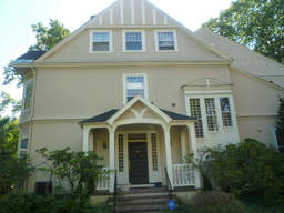
- 12 Berkeley St (parcel map) (google map)
- Single family home
- 4347 square feet, 13264 sqft lot. (0.3 FAR)
- Zone: A-2
- Height: ~39.8 feet
- Built 1882
- Last Sold 4/30/1987 (960000)
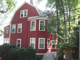
- 11 Vincent St (parcel map) (google map)
- Multi-family home
- 3644 square feet, 5316 sqft lot. (0.7 FAR)
- Zone: C-1
- Height: ~37.3 feet
- Built 1969
- Last Sold 5/29/1973 (75000)
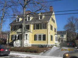
- 113 Walker St (parcel map) (google map)
- Single family home
- 3870 square feet, 9196 sqft lot. (0.4 FAR)
- Zone: B
- Height: ~36.6 feet
- Built 1894
- Last Sold 10/31/2000 (1600000)
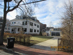
- 19 Maple Ave (parcel map) (google map)
- Single family home
- 4162 square feet, 13772 sqft lot. (0.3 FAR)
- Zone: B
- Height: ~34.6 feet
- Built 1902
- Last Sold 9/25/2012 (1450000)
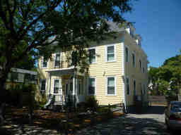
- 35 Harvey St (parcel map) (google map)
- Boarding house
- 4643 square feet, 7124 sqft lot. (0.7 FAR)
- Zone: B
- Height: ~40.3 feet
- Built 1900
- Last Sold 9/19/2007 (1180000)
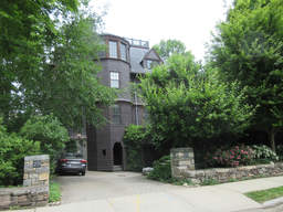
- 23 Highland St (parcel map) (google map)
- Single family home
- 7777 square feet, 19441 sqft lot. (0.4 FAR)
- Zone: A-1
- Height: ~39.2 feet
- Built 1888
- Last Sold 8/25/1993 (960000)
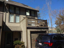
- 9C Russell St (parcel map) (google map)
- Single family home
- 1698 square feet, 2899 sqft lot. (0.6 FAR)
- Zone: B
- Height: ~38.8 feet
- Built 1984
- Last Sold 11/1/2016 (928200)
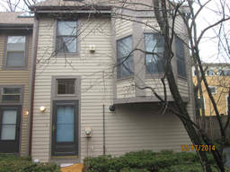
- 3 Cogswell Ct (parcel map) (google map)
- Single family home
- 1233 square feet, 1773 sqft lot. (0.7 FAR)
- Zone: B
- Height: ~30.5 feet
- Built 1985
- Last Sold 2/28/1995 (170500)
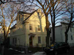
- 76 Kinnaird St (parcel map) (google map)
- Single family home
- 2159 square feet, 2972 sqft lot. (0.7 FAR)
- Zone: C-1
- Height: ~31.6 feet
- Built 1894
- Last Sold 4/12/1994 (170000)
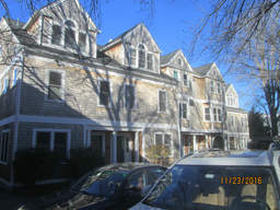
- 39E Bellis Cir (parcel map) (google map)
- Single family home
- 1641 square feet, 1501 sqft lot. (1.1 FAR)
- Zone: C-1A
- Height: ~38.6 feet
- Built 1988
- Last Sold 4/30/1992 (150000)
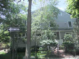
- 202 Vassal Ln (parcel map) (google map)
- Single family home
- 3116 square feet, 5657 sqft lot. (0.6 FAR)
- Zone: B
- Height: ~32.9 feet
- Built 1992
- Last Sold 4/2/1997 (643750)
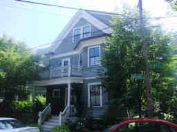
- 257 Upland Rd (parcel map) (google map)
- Single family home
- 3857 square feet, 6777 sqft lot. (0.6 FAR)
- Zone: C-1
- Height: ~38.4 feet
- Built 1897
- Last Sold 8/24/1999 (820000)
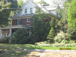
- 2 Walnut Ave (parcel map) (google map)
- Single family home
- 6328 square feet, 14419 sqft lot. (0.4 FAR)
- Zone: A-2
- Height: ~43.5 feet
- Built 1911
- Last Sold 11/1/1968 (60000)
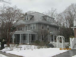
- 6 Berkeley Pl (parcel map) (google map)
- Single family home+apartment
- 4078 square feet, 12360 sqft lot. (0.3 FAR)
- Zone: A-2
- Height: ~38.9 feet
- Built 1914
- Last Sold 1/10/2007 (2750000)
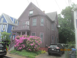
- 20 Tenney St (parcel map) (google map)
- Single family home
- 2599 square feet, 2964 sqft lot. (0.9 FAR)
- Zone: B
- Height: ~36.2 feet
- Built 1895
- Last Sold 8/20/2007 (795000)
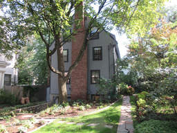
- 6 Francis Ave (parcel map) (google map)
- Single family home
- 2310 square feet, 6211 sqft lot. (0.4 FAR)
- Zone: A-2
- Height: ~37.3 feet
- Built 1941
- Last Sold 5/31/2006 (1541000)
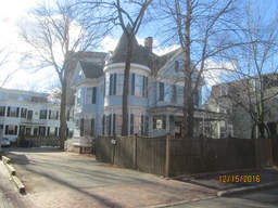
- 376 Harvard St (parcel map) (google map)
- Single family home+apartment
- 4396 square feet, 6717 sqft lot. (0.7 FAR)
- Zone: C-1
- Height: ~37.8 feet
- Built 1892
- Last Sold 4/30/2015 (2880000)
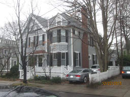
- 5 Riedesel Ave (parcel map) (google map)
- Single family home
- 4524 square feet, 7484 sqft lot. (0.6 FAR)
- Zone: A-1
- Height: ~40.7 feet
- Built 1885
- Last Sold 5/4/2001 (3920400)
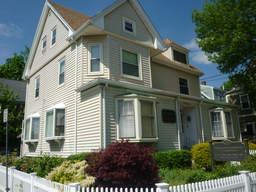
- 182 Elm St N (parcel map) (google map)
- Multi-use commercial
- 3709 square feet, 4551 sqft lot. (0.8 FAR)
- Zone: B
- Height: ~36.7 feet
- Built 1925
- Last Sold 5/9/2005 (862500)
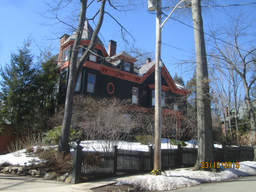
- 55 Appleton St (parcel map) (google map)
- Single family home+apartment
- 4799 square feet, 15981 sqft lot. (0.3 FAR)
- Zone: A-1
- Height: ~46.3 feet
- Built 1873
- Last Sold 5/1/1996 (1450000)
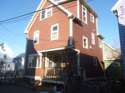
- 3 Frances Pl (parcel map) (google map)
- Single family home
- 1635 square feet, 1764 sqft lot. (0.9 FAR)
- Zone: B
- Height: ~32.5 feet
- Built 1903
- Last Sold 5/25/1999 (198500)
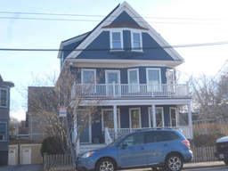
- 486 Huron Ave (parcel map) (google map)
- Single family home
- 3168 square feet, 4967 sqft lot. (0.6 FAR)
- Zone: B
- Height: ~37.4 feet
- Built 1916
- Last Sold 2/14/1992 (388000)
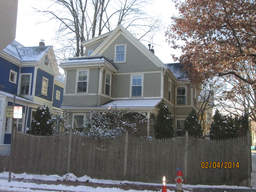
- 14 Linnaean St (parcel map) (google map)
- Single family home
- 2796 square feet, 4391 sqft lot. (0.6 FAR)
- Zone: B
- Height: ~35.8 feet
- Built 1880
- Last Sold 10/14/2005 (1470000)
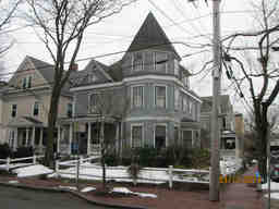
- 50 Orchard St (parcel map) (google map)
- Single family home
- 3213 square feet, 3947 sqft lot. (0.8 FAR)
- Zone: B
- Height: ~44.6 feet
- Built 1896
- Last Sold 7/2/2012 (1520000)
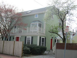
- 1 Sparks St (parcel map) (google map)
- Single family home
- 1688 square feet, 2505 sqft lot. (0.7 FAR)
- Zone: B
- Height: ~31.0 feet
- Built 1873
- Last Sold 12/20/2016 (1315000)
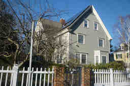
- 103 Irving St (parcel map) (google map)
- Single family home
- 5671 square feet, 10561 sqft lot. (0.5 FAR)
- Zone: A-2
- Height: ~43.8 feet
- Built 1889
- Last Sold 2/6/2009 (3700000)
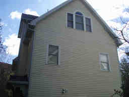
- 14D Bellis Cir (parcel map) (google map)
- Single family home
- 1823 square feet, 2160 sqft lot. (0.8 FAR)
- Zone: B
- Height: ~35.0 feet
- Built 1988
- Last Sold 11/16/1999 (370000)
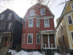
- 60 Eustis St (parcel map) (google map)
- Two-family home
- 2213 square feet, 1856 sqft lot. (1.2 FAR)
- Zone: C-1
- Height: ~37.2 feet
- Built 1903
- Last Sold 5/30/1979 (49900)
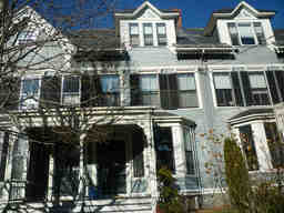
- 31 Brewster St (parcel map) (google map)
- Single family home
- 2520 square feet, 2389 sqft lot. (1.1 FAR)
- Zone: A-1
- Height: ~44.2 feet
- Built 1884
- Last Sold 6/25/1984 (377500)
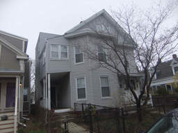
- 65 Rice St (parcel map) (google map)
- Apartment building
- 3946 square feet, 3868 sqft lot. (1.0 FAR)
- Zone: B
- Height: ~32.7 feet
- Built 1920
- Last Sold 1/13/1998 (270000)
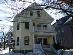
- 442 Huron Ave (parcel map) (google map)
- Single family home
- 2844 square feet, 3446 sqft lot. (0.8 FAR)
- Zone: B
- Height: ~37.2 feet
- Built 1916
- Last Sold 8/22/2005 (1049000)
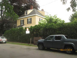
- 233 Brattle St (parcel map) (google map)
- Single family home
- 3517 square feet, 7241 sqft lot. (0.5 FAR)
- Zone: A-1
- Height: ~37.0 feet
- Built 1886
- Last Sold 12/31/1997 (718000)
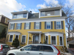
- 27 Willard St (parcel map) (google map)
- Single family home
- 3834 square feet, 6526 sqft lot. (0.6 FAR)
- Zone: C-1
- Height: ~36.0 feet
- Built 1894
- Last Sold 7/27/2007 (1850000)
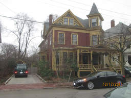
- 36 Garfield St (parcel map) (google map)
- Single family home
- 3245 square feet, 6714 sqft lot. (0.5 FAR)
- Zone: B
- Height: ~40.2 feet
- Built 1887
- Last Sold 6/26/2003 (1550000)
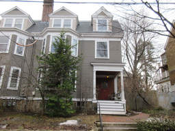
- 116 Upland Rd (parcel map) (google map)
- Single family home
- 3587 square feet, 3452 sqft lot. (1.0 FAR)
- Zone: B
- Height: ~39.4 feet
- Built 1894
- Last Sold 5/2/2002 (1185000)
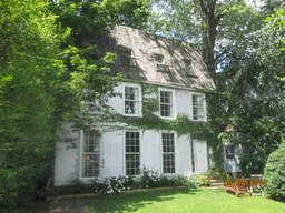
- 87 Howard St (parcel map) (google map)
- Single family home
- 1938 square feet, 3249 sqft lot. (0.6 FAR)
- Zone: C-1
- Height: ~37.2 feet
- Built 1894
- Last Sold 4/27/1988 (140000)
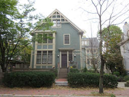
- 25 Concord Ave (parcel map) (google map)
- Single family home
- 3028 square feet, 2872 sqft lot. (1.1 FAR)
- Zone: B
- Height: ~38.2 feet
- Built 1902
- Last Sold 10/21/2009 (1290000)
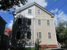
- 15 Union St (parcel map) (google map)
- Single family home
- 1688 square feet, 2760 sqft lot. (0.6 FAR)
- Zone: C-1
- Height: ~36.1 feet
- Built 1854
- Last Sold 2/1/2008 (400000)
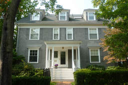
- 11 Traill St (parcel map) (google map)
- Single family home+apartment
- 4070 square feet, 7197 sqft lot. (0.6 FAR)
- Zone: A-1
- Height: ~38.3 feet
- Built 1897
- Last Sold 3/21/2008 (2675000)
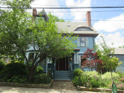
- 98 Raymond St (parcel map) (google map)
- Single family home
- 5125 square feet, 6382 sqft lot. (0.8 FAR)
- Zone: B
- Height: ~41.5 feet
- Built 1892
- Last Sold 9/2/1980 (260000)
